


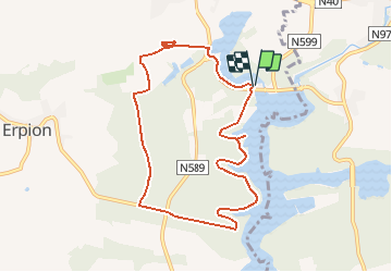


21 km | 26 km-effort

Utilisateur GUIDE


Application GPS de randonnée GRATUITE
 SityTrail
IGN / Instituts géographiques
SityTrail World
Le monde est à vous
Randonnée Marche de 8,4 km à découvrir à Wallonie, Hainaut, Froidchapelle. Cette randonnée est proposée par Desrumaux.
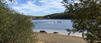
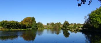
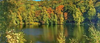
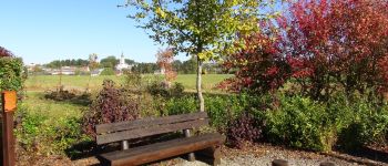
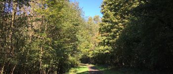
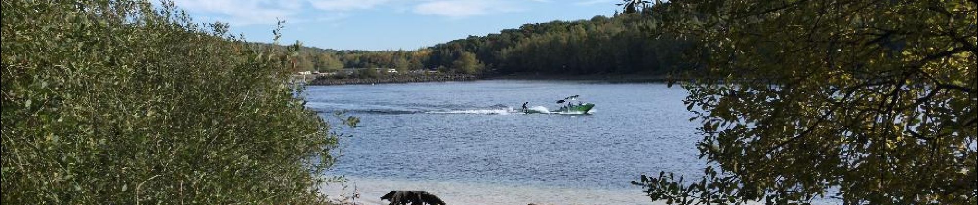
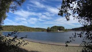
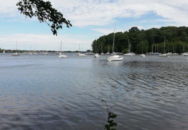
Jolie balade proposée par les Lacs de l'Eau d'Heure . Les magnifiques points de vue, la traversée des forêts et les courbes des rives raviront vos yeux.


Marche

Marche

Marche

Marche
Marche
Marche

Marche
Marche
Marche