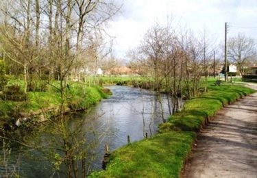
10,2 km | 12,5 km-effort
delettes depart eglise
LaHAL
Utilisateur
Longueur
15,6 km
Altitude max
129 m
Dénivelé positif
181 m
Km-Effort
18 km
Altitude min
39 m
Dénivelé négatif
181 m
Boucle
Oui
Date de création :
2016-10-15 00:00:00.0
Dernière modification :
2016-10-15 00:00:00.0
--
Difficulté : Moyen
Application GPS de randonnée GRATUITE
À propos
Randonnée Marche de 15,6 km à découvrir à Hauts-de-France, Pas-de-Calais, Delettes. Cette randonnée est proposée par LaHAL.
Localisation
Pays :
France
Région :
Hauts-de-France
Département/Province :
Pas-de-Calais
Commune :
Delettes
Localité :
Unknown
Départ:(Dec)
Départ:(UTM)
444316 ; 5607850 (31U) N.
Commentaires
Randonnées à proximité
Delettes - Le sentier les Bonniarts
Marche
Moyen
Delettes,
Hauts-de-France,
Pas-de-Calais,
France
2h 45min
Oui
Therouanne - Le sentier des Morins
Marche
Moyen
Thérouanne,
Hauts-de-France,
Pas-de-Calais,
France
14,4 km | 16,5 km-effort
3h 30min
Oui
Thérouanne - Le sentier des batailles
Marche
Moyen
Thérouanne,
Hauts-de-France,
Pas-de-Calais,
France
9,4 km | 10,6 km-effort
2h 15min
Oui
Herbelles 12Kms (Dén P 138m)
Marche
Moyen
Bellinghem,
Hauts-de-France,
Pas-de-Calais,
France
12 km | 13,9 km-effort
2h 50min
Oui
Cléty/Wizernes (1) 12.9Km Dén P 98m Dén N 188m
Marche
Moyen
Cléty,
Hauts-de-France,
Pas-de-Calais,
France
12,9 km | 14,5 km-effort
3h 9min
Non
Le Puits des Templiers
A pied
Facile
Avroult,
Hauts-de-France,
Pas-de-Calais,
France
11,5 km | 12,7 km-effort
2h 53min
Oui
Upen d'Aval 12,5Kms (Dén P 278m)
Marche
Moyen
Delettes,
Hauts-de-France,
Pas-de-Calais,
France
12,5 km | 16,2 km-effort
3h 27min
Oui
Cléty - Dohem 2
Marche
Facile
Cléty,
Hauts-de-France,
Pas-de-Calais,
France
12,9 km | 15,3 km-effort
2h 35min
Oui