

Trévoux 01 (halage)

Thomasdanielle
Utilisateur

Longueur
11,4 km

Altitude max
177 m

Dénivelé positif
64 m

Km-Effort
12,2 km

Altitude min
165 m

Dénivelé négatif
64 m
Boucle
Oui
Date de création :
2016-11-18 00:00:00.0
Dernière modification :
2016-11-18 00:00:00.0
3h31
Difficulté : Très facile

Application GPS de randonnée GRATUITE
À propos
Randonnée Marche de 11,4 km à découvrir à Auvergne-Rhône-Alpes, Ain, Trévoux. Cette randonnée est proposée par Thomasdanielle.
Description
Départ grand parking près du camping. Rive droite de la Saône, rejoindre Anse, retour par St Bernard puis rive gauche de la Saône. Marche très facile et très agréable par beau temps en en Automne.
Localisation
Pays :
France
Région :
Auvergne-Rhône-Alpes
Département/Province :
Ain
Commune :
Trévoux
Localité :
Unknown
Départ:(Dec)
Départ:(UTM)
637159 ; 5088965 (31T) N.
Commentaires
Randonnées à proximité

Itinérant Beaujolais etape 1 Villefranche sur Saone - Le Flagolet


Marche
Moyen
Villefranche-sur-Saône,
Auvergne-Rhône-Alpes,
Rhône,
France

20 km | 25 km-effort
4h 43min
Non

Quincieux 2-SGMO 19k


Randonnée équestre
Moyen
(1)
Quincieux,
Auvergne-Rhône-Alpes,
Métropole de Lyon,
France

19,4 km | 21 km-effort
2h 40min
Non

Quicieux2-SGMO 17k


Cheval
Très facile
(1)
Quincieux,
Auvergne-Rhône-Alpes,
Métropole de Lyon,
France

17,1 km | 19,1 km-effort
Inconnu
Non
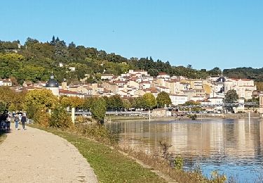
TREVOUX - 01


Marche
Très facile
Trévoux,
Auvergne-Rhône-Alpes,
Ain,
France

11,7 km | 12,6 km-effort
3h 26min
Oui
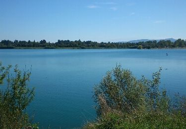
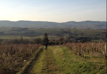
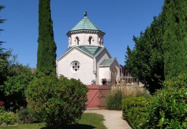
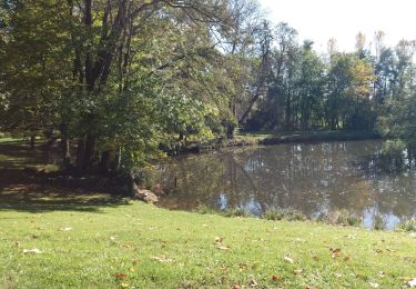
de Jassans à Ars


Marche
Très facile
Jassans-Riottier,
Auvergne-Rhône-Alpes,
Ain,
France

19,5 km | 23 km-effort
6h 1min
Oui
test


Cheval
Très facile
Trévoux,
Auvergne-Rhône-Alpes,
Ain,
France

28 km | 31 km-effort
1h 15min
Non


 SityTrail


