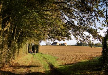
17,7 km | 21 km-effort
Montireau 11.85
togolo28
Utilisateur
Longueur
11,9 km
Altitude max
280 m
Dénivelé positif
116 m
Km-Effort
13,4 km
Altitude min
214 m
Dénivelé négatif
116 m
Boucle
Oui
Date de création :
2016-10-01 00:00:00.0
Dernière modification :
2016-10-01 00:00:00.0
2h58
Difficulté : Facile
Application GPS de randonnée GRATUITE
À propos
Randonnée Marche de 11,9 km à découvrir à Centre-Val de Loire, Eure-et-Loir, Montireau. Cette randonnée est proposée par togolo28.
Localisation
Pays :
France
Région :
Centre-Val de Loire
Département/Province :
Eure-et-Loir
Commune :
Montireau
Localité :
Unknown
Départ:(Dec)
Départ:(UTM)
353958 ; 5363538 (31U) N.
Commentaires
Randonnées à proximité
Saint-Victor-de-Buthon - Thiron-Gardais 17 km
Marche
Très difficile
Saint-Victor-de-Buthon,
Centre-Val de Loire,
Eure-et-Loir,
France
4h 34min
Non
St Victor de Buthon 22.08
Marche
Facile
(1)
Saint-Victor-de-Buthon,
Centre-Val de Loire,
Eure-et-Loir,
France
22 km | 28 km-effort
5h 57min
Oui
Saint-Victor de Buthon 8,5 km
Marche
Moyen
Saint-Victor-de-Buthon,
Centre-Val de Loire,
Eure-et-Loir,
France
8,5 km | 9,9 km-effort
2h 14min
Oui
Le chemin des demoiselles 8,5 km
Marche
Moyen
Saint-Victor-de-Buthon,
Centre-Val de Loire,
Eure-et-Loir,
France
8,4 km | 9,8 km-effort
2h 14min
Oui
Par monts et par vaux 39 km
V.T.T.
Très difficile
Saint-Victor-de-Buthon,
Centre-Val de Loire,
Eure-et-Loir,
France
39 km | 47 km-effort
3h 16min
Oui
La Loupe - St Victor de Buthon 17.21
Marche
Moyen
Saint-Victor-de-Buthon,
Centre-Val de Loire,
Eure-et-Loir,
France
17,2 km | 21 km-effort
Inconnu
Non
TPE 2018 Etape 10 Champrond-en-Gâtine - Senonches 32,6km
Marche
Facile
Champrond-en-Gâtine,
Centre-Val de Loire,
Eure-et-Loir,
France
33 km | 37 km-effort
7h 59min
Non
Quad avec ceriaque
Autre activité
Très facile
Saint-Victor-de-Buthon,
Centre-Val de Loire,
Eure-et-Loir,
France
62 km | 78 km-effort
3h 5min
Non
saint victor
Marche
Moyen
Saint-Victor-de-Buthon,
Centre-Val de Loire,
Eure-et-Loir,
France
9,2 km | 11,6 km-effort
2h 36min
Oui