


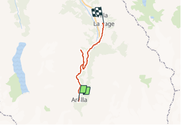


11,8 km | 22 km-effort

Utilisateur


Application GPS de randonnée GRATUITE
 SityTrail
IGN / Instituts géographiques
SityTrail World
Le monde est à vous
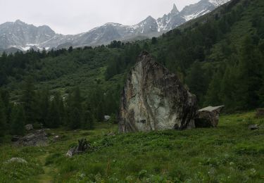
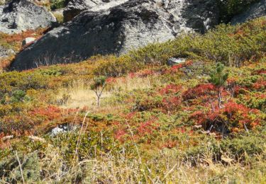
Randonnée Marche de 17,3 km à découvrir à Valais, Hérens, Evolène. Cette randonnée est proposée par jeff2.
Tellement fastoche que je me suis perdu !


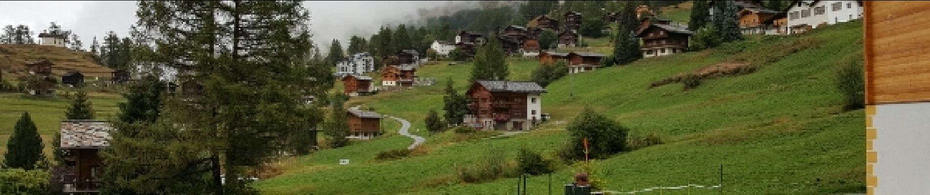
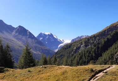
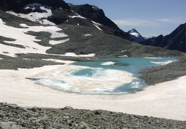
23 photos au total. Cliquez sur une photo pour les afficher toutes dans la galerie.

Marche
Marche

Sports d'hiver
Sports d'hiver
Autre activité
Marche
Marche nordique
Marche nordique