


12,6 km | 17 km-effort

Utilisateur


Application GPS de randonnée GRATUITE
 SityTrail
IGN / Instituts géographiques
SityTrail World
Le monde est à vous
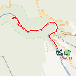
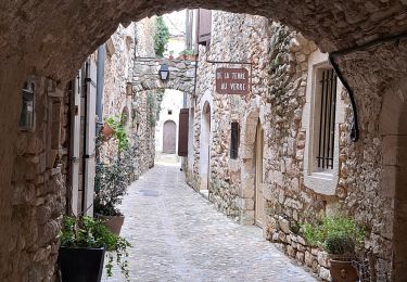
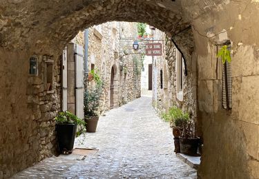
Randonnée Marche de 12,4 km à découvrir à Auvergne-Rhône-Alpes, Ardèche, Saint-Martin-d'Ardèche. Cette randonnée est proposée par kephas.
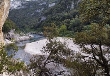
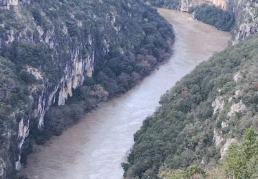
Aller et retour dans les gorges de L'Ardèche.
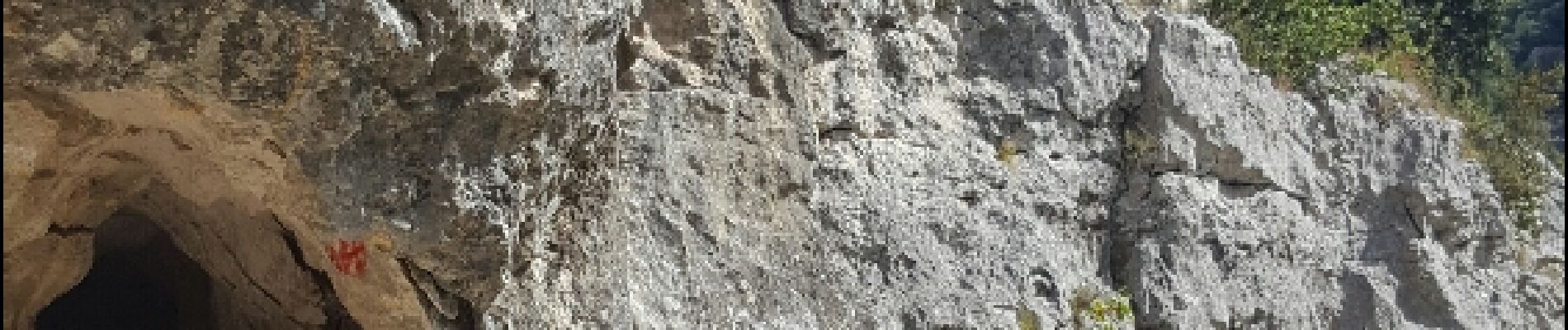
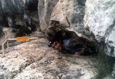
Des passages aménagés avec échelles.
Ne pas effectuer les jours de pluie, roches glissantes


Marche
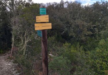
Marche
Marche
Marche
Marche
Marche
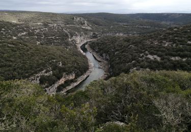
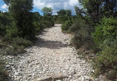
Parcours difficile pour sportif confirmé. Ne pas faire seul en cas de canicule.