


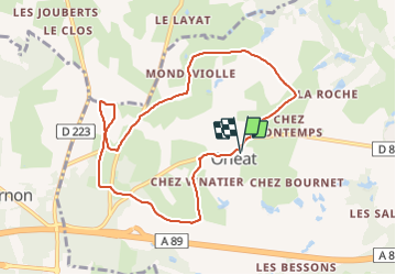

14,1 km | 15,9 km-effort

Utilisateur GUIDE


Application GPS de randonnée GRATUITE
 SityTrail
IGN / Instituts géographiques
SityTrail World
Le monde est à vous
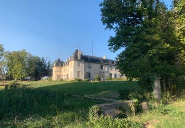
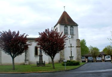
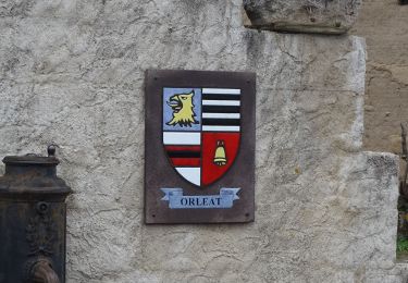
Randonnée Marche de 8,7 km à découvrir à Auvergne-Rhône-Alpes, Puy-de-Dôme, Orléat. Cette randonnée est proposée par jagarnier.
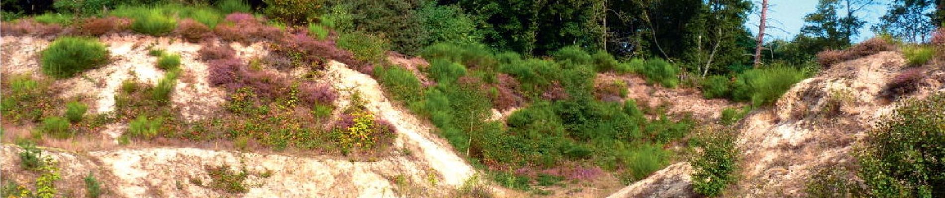
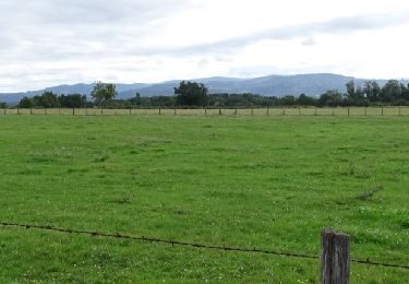
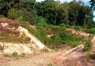
Une balade qui vous amènera sur le site des dunes continentales. Un patrimoine unique en Europe classé site "natura 2000".

A pied
A pied
Marche
Marche
Marche
Marche
Marche
Marche
Marche