
LA PIERRE PERCÉE-PIERRE CHATEL-29-08-2016

RD78-38
Utilisateur

Longueur
13,6 km

Altitude max
1275 m

Dénivelé positif
445 m

Km-Effort
19,5 km

Altitude min
932 m

Dénivelé négatif
447 m
Boucle
Oui
Date de création :
2016-09-04 00:00:00.0
Dernière modification :
2020-07-11 00:22:51.629
4h13
Difficulté : Très facile

Application GPS de randonnée GRATUITE
À propos
Randonnée Marche de 13,6 km à découvrir à Auvergne-Rhône-Alpes, Isère, Pierre-Châtel. Cette randonnée est proposée par RD78-38.
Description
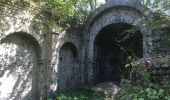
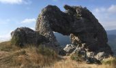
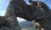
Ballade plus que Randonnée. Aller et retour vers la pierre percée sans grand intérêt (aucune vue, traversée d'une forêt seulement). Seule la pierre percée et sa vue présentent un intérêt.
Localisation
Pays :
France
Région :
Auvergne-Rhône-Alpes
Département/Province :
Isère
Commune :
Pierre-Châtel
Localité :
Unknown
Départ:(Dec)
Départ:(UTM)
719248 ; 4983213 (31T) N.
Commentaires
Randonnées à proximité
Le perollier, le Grand Serre


Ski de randonnée
Moyen
Saint-Honoré,
Auvergne-Rhône-Alpes,
Isère,
France

15,4 km | 33 km-effort
6h 29min
Oui
Tabor de la Mûre


Ski de randonnée
Facile
Saint-Honoré,
Auvergne-Rhône-Alpes,
Isère,
France

10,7 km | 24 km-effort
5h 8min
Oui

Tour des lacs Pierre-Chatel


V.T.T.
Très facile
(1)
Pierre-Châtel,
Auvergne-Rhône-Alpes,
Isère,
France

32 km | 46 km-effort
4h 28min
Oui
connex en boucle


Marche
Moyen
La Motte-Saint-Martin,
Auvergne-Rhône-Alpes,
Isère,
France

17,5 km | 31 km-effort
7h 56min
Oui
petite balade


Marche
Moyen
La Motte-d'Aveillans,
Auvergne-Rhône-Alpes,
Isère,
France

5,1 km | 9,3 km-effort
3h 38min
Oui
connex


Marche
Moyen
La Motte-Saint-Martin,
Auvergne-Rhône-Alpes,
Isère,
France

15,6 km | 28 km-effort
6h 26min
Oui
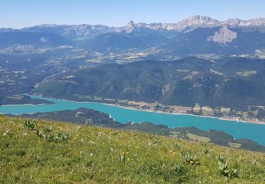
Le Sénépy depuis Les Signaraux


V.T.T.
Moyen
La Motte-d'Aveillans,
Auvergne-Rhône-Alpes,
Isère,
France

20 km | 32 km-effort
3h 39min
Oui
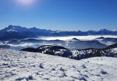
Col du Sénépy et Pierre Plantée depuis les Signaraux


Marche
Moyen
La Motte-d'Aveillans,
Auvergne-Rhône-Alpes,
Isère,
France

10,2 km | 15,8 km-effort
5h 39min
Oui
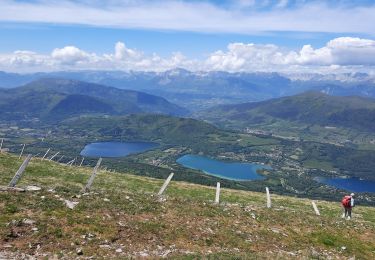
Le Grand Serre


Marche
Difficile
Saint-Honoré,
Auvergne-Rhône-Alpes,
Isère,
France

13,1 km | 23 km-effort
6h 0min
Oui


 SityTrail


