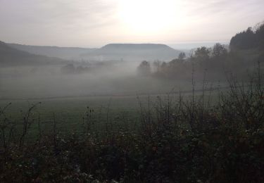
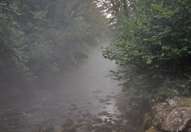
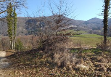
15 km | 19,2 km-effort
source du lison 2
sebbrunie1
Utilisateur
Longueur
17,3 km
Altitude max
629 m
Dénivelé positif
435 m
Km-Effort
23 km
Altitude min
342 m
Dénivelé négatif
435 m
Boucle
Oui
Date de création :
2016-09-02 00:00:00.0
Dernière modification :
2016-09-02 00:00:00.0
2h38
Difficulté : Facile
Application GPS de randonnée GRATUITE
À propos
Randonnée Cheval de 17,3 km à découvrir à Bourgogne-Franche-Comté, Doubs, Éternoz. Cette randonnée est proposée par sebbrunie1.
Description
Très belle balade très galopante
Localisation
Pays :
France
Région :
Bourgogne-Franche-Comté
Département/Province :
Doubs
Commune :
Éternoz
Localité :
Éternoz
Départ:(Dec)
Départ:(UTM)
274332 ; 5210234 (32T) N.
Commentaires
Randonnées à proximité
Les Gorges du Lison - Eternoz
Marche
Moyen
(2)
Éternoz,
Bourgogne-Franche-Comté,
Doubs,
France
10,9 km | 14,4 km-effort
3h 0min
Oui
Tour du Monniot
A pied
Moyen
Éternoz,
Bourgogne-Franche-Comté,
Doubs,
France
15,6 km | 21 km-effort
4h 52min
Oui
eternoz belvédère chandelier
Marche
Moyen
(2)
Éternoz,
Bourgogne-Franche-Comté,
Doubs,
France
15,9 km | 20 km-effort
5h 13min
Oui
bon an Malans
Marche
Facile
Malans,
Bourgogne-Franche-Comté,
Doubs,
France
13,2 km | 16,5 km-effort
3h 5min
Oui
lizine croix et lison
Marche
Facile
Lizine,
Bourgogne-Franche-Comté,
Doubs,
France
12,3 km | 16,5 km-effort
4h 25min
Non
Boucle du Lison
Marche
Moyen
Nans-sous-Sainte-Anne,
Bourgogne-Franche-Comté,
Doubs,
France
6,2 km | 10,1 km-effort
2h 10min
Oui
Coulans sur Lison
Marche
Facile
Éternoz,
Bourgogne-Franche-Comté,
Doubs,
France
11,4 km | 15 km-effort
8h 46min
Non
Nans sous st Anne "pont du diable"
Marche
Difficile
(1)
Nans-sous-Sainte-Anne,
Bourgogne-Franche-Comté,
Doubs,
France
16,1 km | 25 km-effort
2h 59min
Oui