


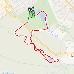


10,6 km | 11,7 km-effort

Utilisateur


Application GPS de randonnée GRATUITE
 SityTrail
IGN / Instituts géographiques
SityTrail World
Le monde est à vous
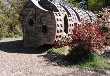
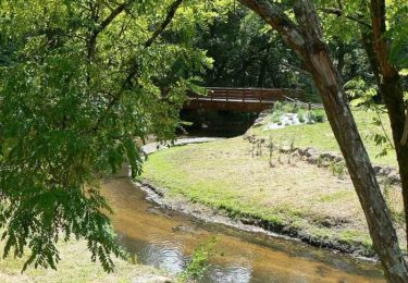
Randonnée Marche de 4,6 km à découvrir à Nouvelle-Aquitaine, Gironde, Cestas. Cette randonnée est proposée par sandrineh.
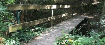
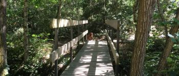
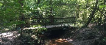
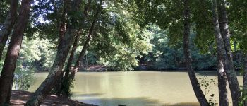
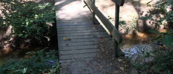
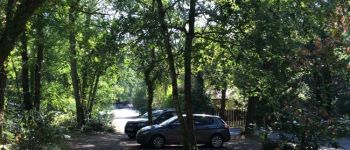
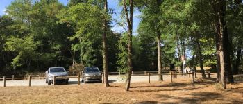
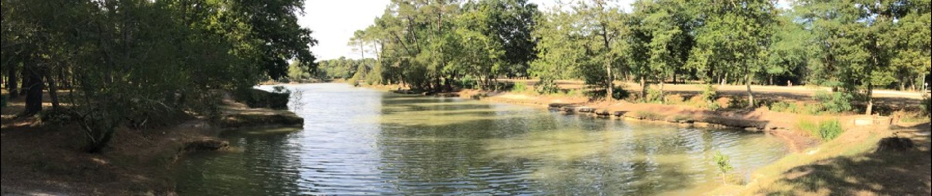
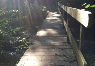
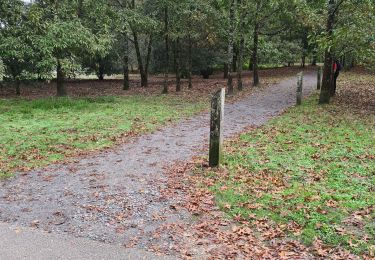
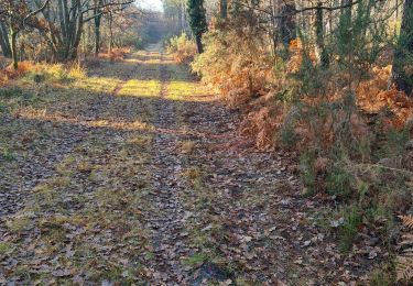
Promenade en sous bois autour de l'étang de Montsalut ou le long du cours d'eau des sources. Frais même quand il fait chaud. Attention aux moustiques.


Marche
Marche

Marche
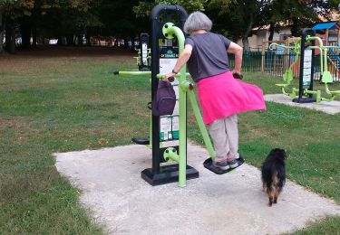
Marche nordique
Marche nordique
Marche
Marche
Marche
Marche