


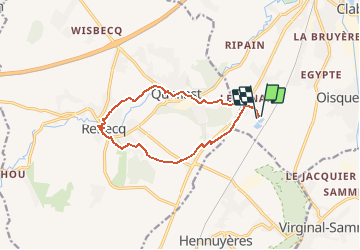

13,2 km | 15,9 km-effort


Utilisateur


Application GPS de randonnée GRATUITE
 SityTrail
IGN / Instituts géographiques
SityTrail World
Le monde est à vous
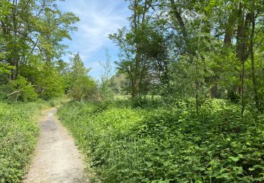
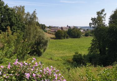
Randonnée Marche de 10,9 km à découvrir à Wallonie, Brabant wallon, Tubize. Cette randonnée est proposée par calofrancis.
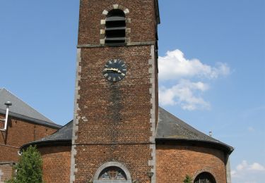
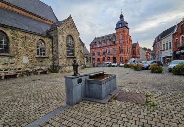
Traversée de Rebecq, par les moulins le long de la Senne, superbement fleuris.
Départ aux étangs de Coeurcq.
___www.marcheursdumardi.be___

Marche

Marche

Marche

Marche
Marche
Marche
Marche
Marche
Marche