


14,6 km | 21 km-effort


Utilisateur


Application GPS de randonnée GRATUITE
 SityTrail
IGN / Instituts géographiques
SityTrail World
Le monde est à vous
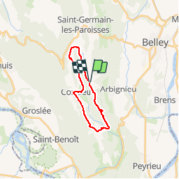
Randonnée V.T.T. de 18,2 km à découvrir à Auvergne-Rhône-Alpes, Ain, Colomieu. Cette randonnée est proposée par jeannot01.
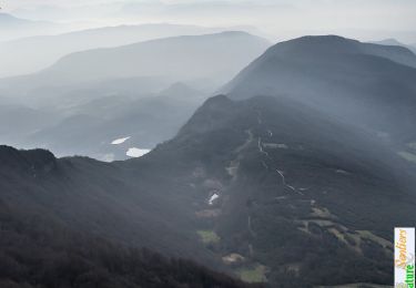
Pas de difficulté particulière sur cette rando effectuée en grande partie sur du gros chemin.
Niveau facile à moyen suivant le niveau.
Belle descente sur le final. Au POI, pour éviter la route, possibilité de continuer tout droit mais "au ruisseau du moulin", on arrive souvent dans un champ de culture.
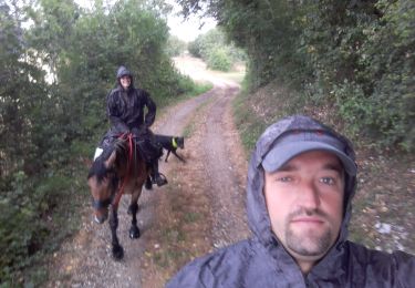
Randonnée équestre
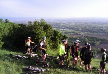
V.T.T.

V.T.T.
V.T.T.

Moteur
V.T.T.
V.T.T.
Marche