


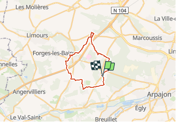

21 km | 24 km-effort


Utilisateur


Application GPS de randonnée GRATUITE
 SityTrail
IGN / Instituts géographiques
SityTrail World
Le monde est à vous
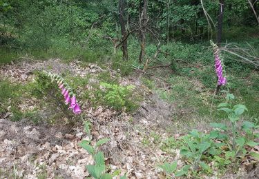
Randonnée V.T.T. de 19,6 km à découvrir à Île-de-France, Essonne, Fontenay-lès-Briis. Cette randonnée est proposée par Bora431.
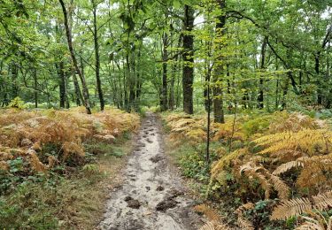
Alternance de forêts et de campagne vallonnée. Quelques raccords sur routes peu passantes. Quelques côtes notamment en forêt de la Roche Turpin.
Marche

Marche
Marche

Marche

A pied

V.T.T.
Marche

Marche