


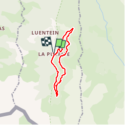

24 km | 44 km-effort


Utilisateur


Application GPS de randonnée GRATUITE
 SityTrail
IGN / Instituts géographiques
SityTrail World
Le monde est à vous
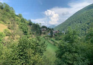
Randonnée Marche de 12 km à découvrir à Occitanie, Ariège, Bonac-Irazein. Cette randonnée est proposée par pidjam.
balade intéressante qui passe par des tunnels sur la voie des wagonnets. Présence cependant de passages délicats, notamment des devers en zone de forte pente et des bourbiers.
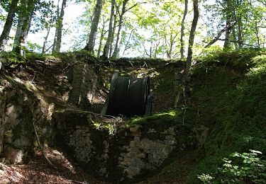
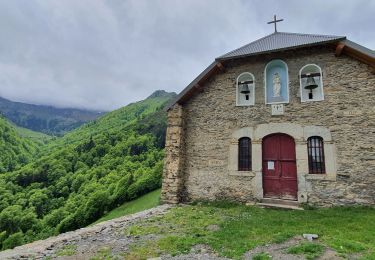
Peut être allongée de 50mn aller (puis retour)vers la roue du funiculaire.

Marche
Marche
Marche
Marche
Marche

A pied
Marche
Marche
Marche