


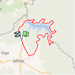


19,9 km | 26 km-effort


Utilisateur


Application GPS de randonnée GRATUITE
 SityTrail
IGN / Instituts géographiques
SityTrail World
Le monde est à vous
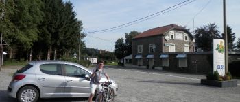
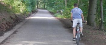
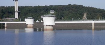
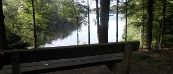
Randonnée Vélo de 15,8 km à découvrir à Wallonie, Liège, Jalhay. Cette randonnée est proposée par Jacquesgilson.
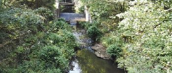
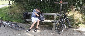
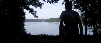
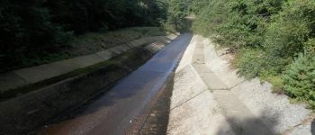
15 KM de ballade familiale dans un cadre bucolique avec plein de bancs de façon a admirer le paysage.
Ballade réalisée avec un vélo basique.


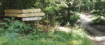
Marche

Marche

Marche

Marche

Marche

Marche

Marche
Marche
