


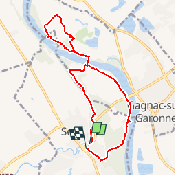

7,1 km | 7,7 km-effort

Utilisateur


Application GPS de randonnée GRATUITE
 SityTrail
IGN / Instituts géographiques
SityTrail World
Le monde est à vous
Randonnée Marche de 9,3 km à découvrir à Occitanie, Haute-Garonne, Seilh. Cette randonnée est proposée par lulu2211.
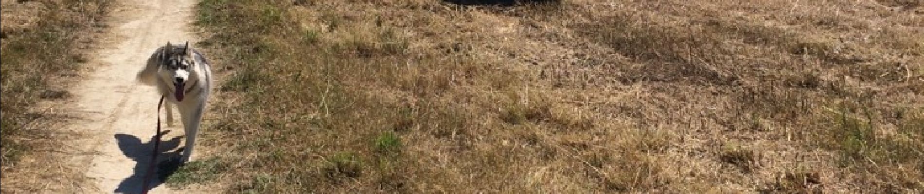
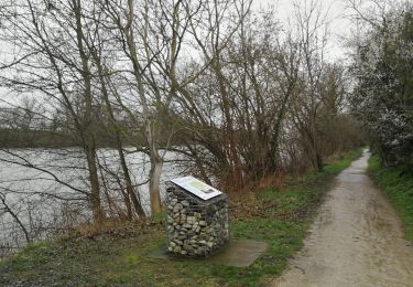
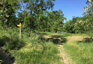
Parcours plat et Sentier bien marqué - fréquentation moyenne en début de parcours , surtout des vélos . Super pour les chiens qui peuvent se baigner dans la Garonne


Marche

Marche
Marche
Marche
Marche
Marche
Marche
Marche
Marche