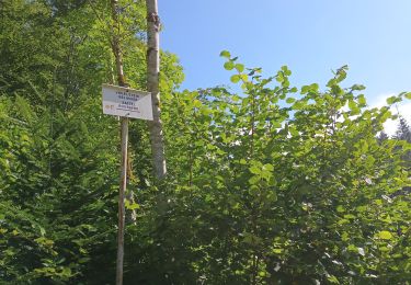
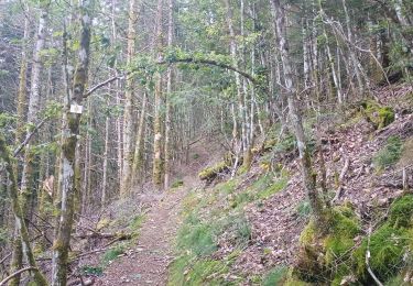
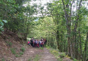
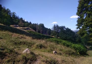
Randonnée Marche Moosch - Bubalafels et Gsang - Photo

Bubalafels et Gsang

 MIFE68
MIFE68

Utilisateur

© OpenStreetMap contributors
Longueur
Longueur
10,6 km
Altitude max
Altitude max
1065 m
Dénivelé positif
Dénivelé positif
589 m
Km-Effort
Km-Effort  
18,5 km
Altitude min
Altitude min
489 m
Dénivelé négatif
Dénivelé négatif
589 m
Boucle
Boucle
Oui
Date de création :
2016-08-15 00:00:00.0
Dernière modification :
2016-08-15 00:00:00.0

(0 Avis)

Marche
Marche
3h53
Difficulté : Facile

Scannez ce code QR pour ouvrir la randonnée dans l'application SityTrail

Application GPS de randonnée GRATUITE

Logo SityTrail SityTrail

IGN / Instituts géographiques

Télécharger SityTrail sur l'App Store Télécharger SityTrail sur Google Play

Logo SityTrail SityTrail World

Le monde est à vous

Télécharger SityTrail sur l'App Store Télécharger SityTrail sur Google Play Télécharger SityTrail sur Huawei AppGallery

À propos

Randonnée Marche de 10,6 km à découvrir à Grand Est, Haut-Rhin, Moosch. Cette randonnée est proposée par MIFE68.

Description

Départ Fin du macadam après le camping de Moosch. Montée vers le site aménagé du Bubalafels, direction Gsang par Blaufels. Montée rude au Rossberg, vue magnifique sur la vallée de Saint-Amarin vers le barrage de Wildenstein et le Grand Ballon. Poursuite vers le Gsang à travers pâturage et descente vers Moosch par Kolabi, Hüttenloch et chemin forestier jusqu'à la voiture.

Profil altimétrique

Localisation

Pays :
France
Région :
Grand Est
Département/Province :
Haut-Rhin
Commune :
Moosch
Localité :
Unknown
Départ:(Dec)
Départ:(UTM)
352172 ; 5301232 (32T) N.

Randonnées à proximité

Randonnée Marche Bourbach-le-Haut - Tour du Rossberg - Gsang - Thannerhubel - Photo
Marche
GUIDE
mumu.larandonneuse

Marche

Difficile
Bourbach-le-Haut, Grand Est, Haut-Rhin, France
11,4 km | 18,5 km-effort
4h 12min
Oui
Randonnée A pied Bitschwiller-lès-Thann - Bitschwiller les Thann - Rehbrunnel - Abri du Becherkopf - Roche Albert - Photo
A pied
patrickbeyrath

A pied

Moyen
(1)
Bitschwiller-lès-Thann, Grand Est, Haut-Rhin, France
10,3 km | 16,4 km-effort
Inconnu
Oui
Randonnée Marche Bitschwiller-lès-Thann - 68 Col du Hundsrück  - FA Gsang - retour ThannerHubel - Photo
Marche

Marche

Moyen
(1)
Bitschwiller-lès-Thann, Grand Est, Haut-Rhin, France
11,2 km | 18,4 km-effort
3h 48min
Oui
Randonnée Marche Wegscheid - FucksfelsenBelacker - Photo
Marche
helmut68

Marche

Moyen
Wegscheid, Grand Est, Haut-Rhin, France
14,4 km | 24 km-effort
4h 9min
Oui
Randonnée Marche Wegscheid - Sattelboden Stahlberg - Photo
Marche
helmut68

Marche

Très difficile
Wegscheid, Grand Est, Haut-Rhin, France
11,9 km | 20 km-effort
4h 35min
Oui
Randonnée Marche Wegscheid - Sortie école primaire - Rossberg - Photo
Marche
helmut68

Marche

Moyen
Wegscheid, Grand Est, Haut-Rhin, France
11,8 km | 19,1 km-effort
4h 48min
Oui
Randonnée Marche Mollau - Le rossberg - Photo
Marche
margotte

Marche

Moyen
Mollau, Grand Est, Haut-Rhin, France
14,9 km | 25 km-effort
7h 41min
Oui
Randonnée Marche Storckensohn - Storckensohn Gazon Vert - Photo
Marche
helmut68

Marche

Difficile
Storckensohn, Grand Est, Haut-Rhin, France
13 km | 21 km-effort
4h 40min
Oui
Randonnée Marche Saint-Amarin - dimanche - Photo
Marche
Ninie38MD

Marche

Très difficile
(1)
Saint-Amarin, Grand Est, Haut-Rhin, France
19,4 km | 35 km-effort
7h 51min
Oui


Fermer
Mes abonnements