


34 km | 44 km-effort


Utilisateur


Application GPS de randonnée GRATUITE
 SityTrail
IGN / Instituts géographiques
SityTrail World
Le monde est à vous
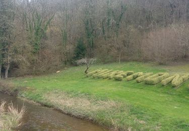
Randonnée Autre activité de 3,1 km à découvrir à Auvergne-Rhône-Alpes, Puy-de-Dôme, Les Ancizes-Comps. Cette randonnée est proposée par Marsollat.
Navigation plan d'eau des Fades Besserves
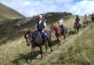
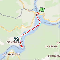
Randonnée équestre
A pied
A pied
Marche
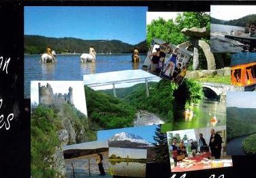
Randonnée équestre
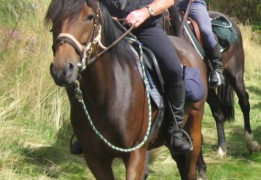
Randonnée équestre
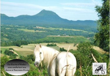
Randonnée équestre
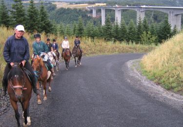
Randonnée équestre
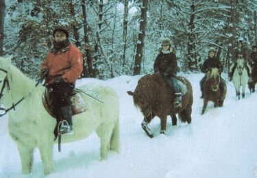
Randonnée équestre