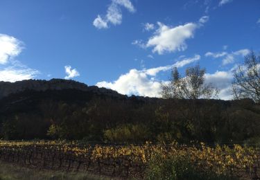
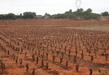
12,5 km | 14,4 km-effort
card
michael.pilbeam@orange.fr
Utilisateur
Longueur
11,4 km
Altitude max
242 m
Dénivelé positif
207 m
Km-Effort
14,1 km
Altitude min
147 m
Dénivelé négatif
207 m
Boucle
Oui
Date de création :
2016-08-09 00:00:00.0
Dernière modification :
2016-08-09 00:00:00.0
2h30
Difficulté : Inconnu
Application GPS de randonnée GRATUITE
À propos
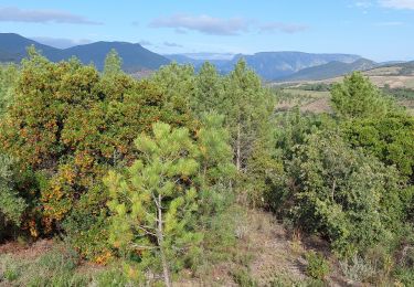
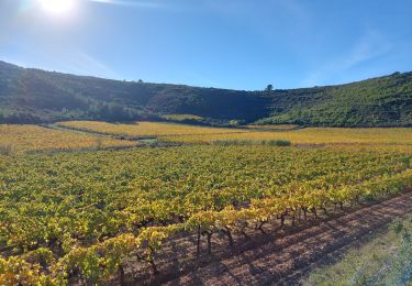
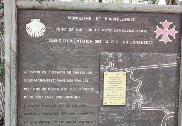
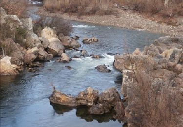
Randonnée Marche de 11,4 km à découvrir à Occitanie, Hérault, Cazedarnes. Cette randonnée est proposée par michael.pilbeam@orange.fr.
Localisation
Pays :
France
Région :
Occitanie
Département/Province :
Hérault
Commune :
Cazedarnes
Localité :
Unknown
Départ:(Dec)
Départ:(UTM)
501529 ; 4807507 (31T) N.
Commentaires
Randonnées à proximité
Prades-Broutelade
Marche
Facile
(1)
Prades-sur-Vernazobre,
Occitanie,
Hérault,
France
13,6 km | 17,5 km-effort
4h 30min
Non
Prades sur vernazobres
Marche
Facile
(1)
Prades-sur-Vernazobre,
Occitanie,
Hérault,
France
10,3 km | 14,1 km-effort
2h 59min
Oui
TBG - ACAD - Abbaye de Fontcaude - Trace finale
Marche
Très difficile
(1)
Cazedarnes,
Occitanie,
Hérault,
France
19,6 km | 25 km-effort
5h 39min
Oui
cazerdane 2
Marche
Très facile
Cazedarnes,
Occitanie,
Hérault,
France
9,4 km | 11,6 km-effort
2h 25min
Oui
Abbaye de Fontcaude - Cazedarnes
Marche
Moyen
Cazedarnes,
Occitanie,
Hérault,
France
7 km | 7,9 km-effort
2h 0min
Oui
pierrerue un tour
Marche
Moyen
Pierrerue,
Occitanie,
Hérault,
France
8,1 km | 10,4 km-effort
2h 19min
Oui
cessenon petit tour
Marche
Moyen
Cessenon-sur-Orb,
Occitanie,
Hérault,
France
8,3 km | 10,1 km-effort
2h 41min
Non