


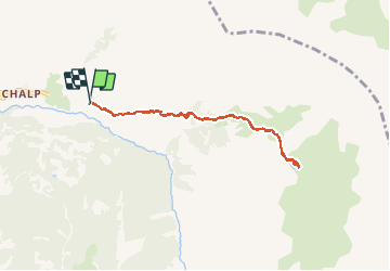

7,2 km | 11 km-effort

Utilisateur


Application GPS de randonnée GRATUITE
 SityTrail
IGN / Instituts géographiques
SityTrail World
Le monde est à vous
Randonnée Marche nordique de 7,8 km à découvrir à Provence-Alpes-Côte d'Azur, Hautes-Alpes, Crévoux. Cette randonnée est proposée par Gegetop.
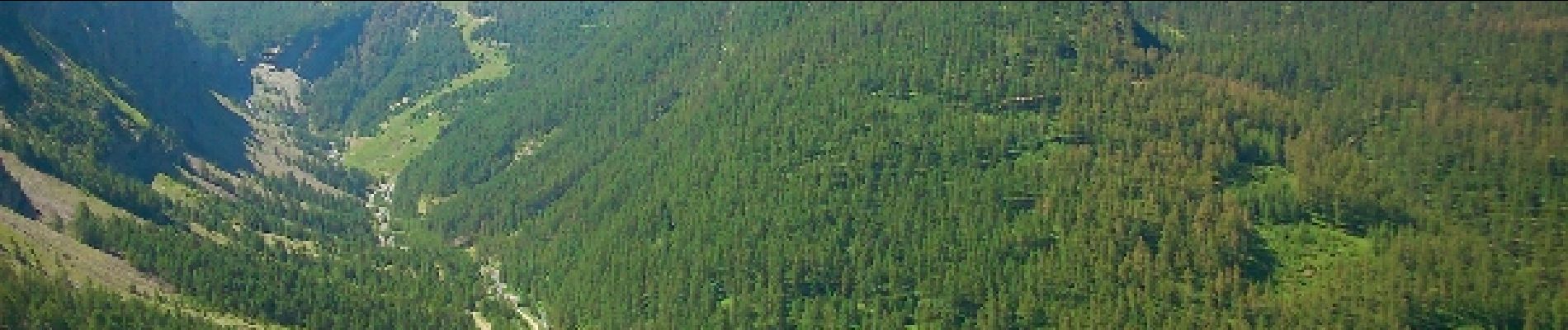
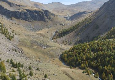
Jolie montée assez caillouteuse qui débouche sur le vallon accueillant de verdure et de fleurs, puis enfin le petit lac aux eaux vertes.


Marche

Autre activité

Marche

Marche

Marche

Marche

Marche
Raquettes à neige
Marche