


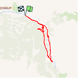


7,2 km | 11 km-effort

Utilisateur


Application GPS de randonnée GRATUITE
 SityTrail
IGN / Instituts géographiques
SityTrail World
Le monde est à vous
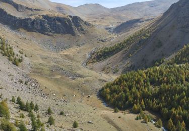
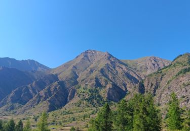
Randonnée Marche de 8,3 km à découvrir à Provence-Alpes-Côte d'Azur, Hautes-Alpes, Crévoux. Cette randonnée est proposée par CAMBON.
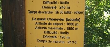
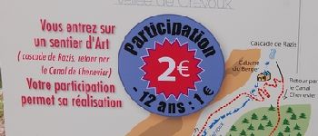
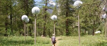
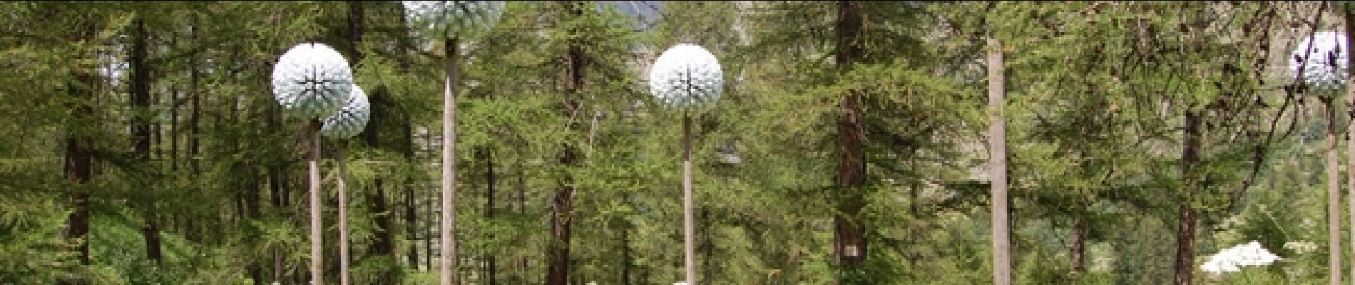
Sentier artistique et poétique.
Partez sur le Parcours des Fées, pour une randonnée facile dans une vallée sauvage et préservée, et laissez vous surprendre au gré de votre balade par une douzaine d’œuvres étonnantes.


Marche

Autre activité

Marche

Marche

Marche

Marche
Raquettes à neige
Marche
Marche
Idée géniale de joindre l'art et la randonnée. Félicitations à toute l'équipe d'artistes et de bénévoles.