


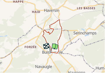

18,9 km | 24 km-effort


Utilisateur


Application GPS de randonnée GRATUITE
 SityTrail
IGN / Instituts géographiques
SityTrail World
Le monde est à vous
Randonnée Marche de 9,2 km à découvrir à Wallonie, Namur, Rochefort. Cette randonnée est proposée par Wernerch.
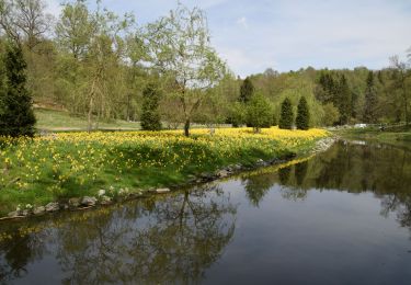
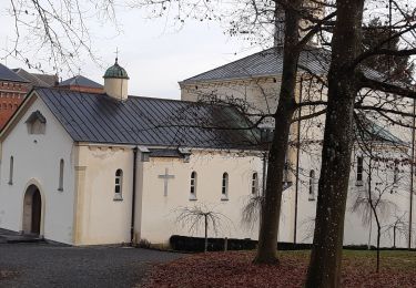
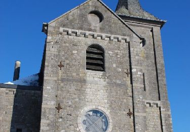
Un bon dénivelé pour commencer. une partie privée joliment boisée (région wallonne )une nouvelle grimpette et on redescend vers le village.
Marche

Marche
Marche
Marche
Marche

Randonnée équestre

A pied
A pied
A pied