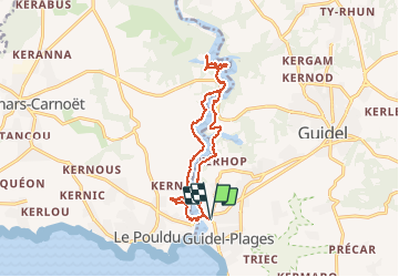

9,1 km | 10 km-effort


Utilisateur


Application GPS de randonnée GRATUITE
 SityTrail
IGN / Instituts géographiques
SityTrail World
Le monde est à vous
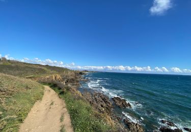
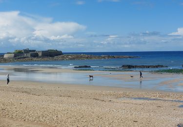
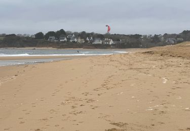
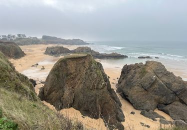
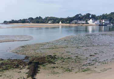
Randonnée Autre activité de 14,4 km à découvrir à Bretagne, Morbihan, Guidel. Cette randonnée est proposée par michelquemere.
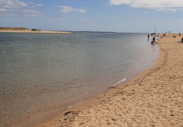
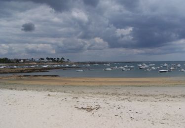
Départ Guidel-plage jusqu'à Abbaye Saint-Maurice et retour vers le Pouldu retour à Guidel-plage par le bac 1€ la traversée jusqu'à 18h00.
A pied
Marche
Marche
Marche
Marche
Marche
Marche