


12,9 km | 17,3 km-effort


Utilisateur


Application GPS de randonnée GRATUITE
 SityTrail
IGN / Instituts géographiques
SityTrail World
Le monde est à vous
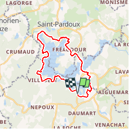
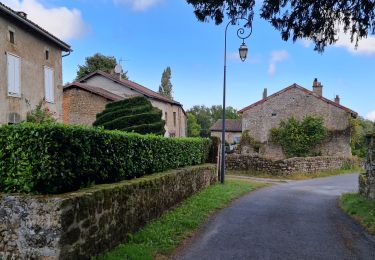
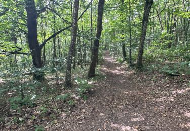
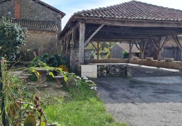
Randonnée Marche de 14,4 km à découvrir à Nouvelle-Aquitaine, Haute-Vienne, Compreignac. Cette randonnée est proposée par Bastet.
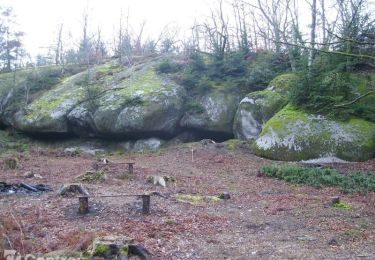
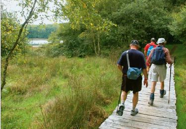
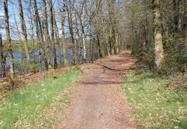
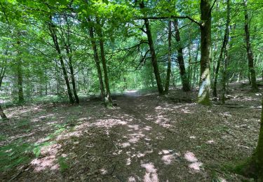
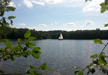
Ce tour du Lac de St Pardoux vous fera découvrir de magnifiques points de vues. Souvent à l'ombre du dense couvert forestier, les chemins et sentiers parcourent les abords au plus près de l'eau. De nombreuses petites plages sont propices aux pauses et aux baignades dans une eau chaude en été.
Marche
Marche
Marche

sport
Marche
Marche
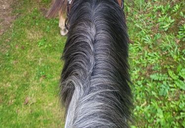
Randonnée équestre
Marche
V.T.T.