


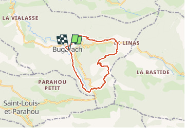

16,5 km | 28 km-effort

Utilisateur


Application GPS de randonnée GRATUITE
 SityTrail
IGN / Instituts géographiques
SityTrail World
Le monde est à vous
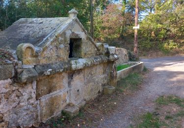
Randonnée Marche de 14,2 km à découvrir à Occitanie, Aude, Bugarach. Cette randonnée est proposée par ThonyM.
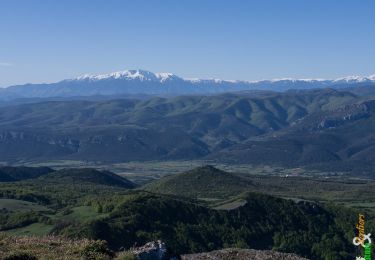
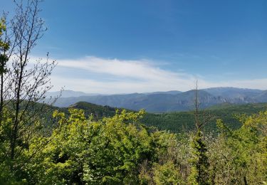
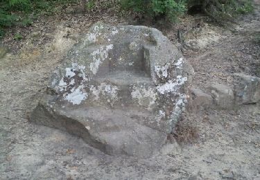
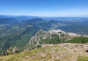
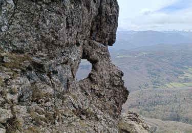
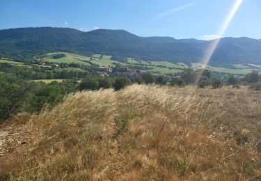
Montée un peu longue et dans le brouillard. Il faut poser les mains pour s'aider à monter les rochers vers le sommet. Sans grande difficulté cependant


Marche
Marche
Marche
Marche
Marche
Marche
Marche
Marche