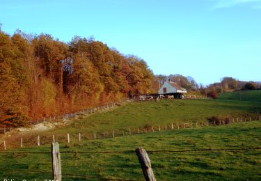
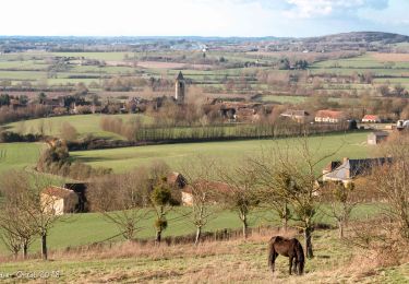
12,2 km | 15,6 km-effort
Ceton 17.48
togolo28
Utilisateur
Longueur
17,5 km
Altitude max
202 m
Dénivelé positif
311 m
Km-Effort
22 km
Altitude min
100 m
Dénivelé négatif
310 m
Boucle
Oui
Date de création :
2017-08-26 00:00:00.0
Dernière modification :
2018-10-30 15:43:45.55
4h42
Difficulté : Facile
Application GPS de randonnée GRATUITE
À propos
Randonnée Marche de 17,5 km à découvrir à Normandie, Orne, Ceton. Cette randonnée est proposée par togolo28.
Localisation
Pays :
France
Région :
Normandie
Département/Province :
Orne
Commune :
Ceton
Localité :
Unknown
Départ:(Dec)
Départ:(UTM)
332819 ; 5343738 (31U) N.
Commentaires
Randonnées à proximité
Ceton : une version raccourcie du "Prieuré Saint-Pierre-Es-Lien 12 km
Marche
Difficile
Ceton,
Normandie,
Orne,
France
3h 31min
Oui
Le Theil-sur-Huisne (Val-au-Perche)-Saint-Germain-de-la-Coudre - 7,4 Km
Marche
Moyen
Val-au-Perche,
Normandie,
Orne,
France
7,4 km | 9,6 km-effort
2h 3min
Non
Le Theil-sur-Huisne (Val-au-Perche) - Saint-Cyr-la-Rosière 11 km
Marche
Facile
Val-au-Perche,
Normandie,
Orne,
France
11,2 km | 13,6 km-effort
2h 52min
Non
Cherreau - Sur le sentier des lièvres
Marche
Moyen
Cherré-Au,
Pays de la Loire,
Sarthe,
France
6,7 km | 8,4 km-effort
1h 30min
Oui
Ceton - Le prieuré St-Pierre-ès-Liens 18 km
Marche
Très difficile
Ceton,
Normandie,
Orne,
France
17,7 km | 22 km-effort
5h 0min
Oui
Ceton - Le moulin aux Moines 4,7 km
Marche
Facile
Ceton,
Normandie,
Orne,
France
4,7 km | 5,7 km-effort
1h 17min
Oui
Ceton - Le bois de Beauvais 17 km
Marche
Très difficile
Ceton,
Normandie,
Orne,
France
16,6 km | 21 km-effort
4h 46min
Oui
Ceton - La petite forêt 7 km
Marche
Moyen
Ceton,
Normandie,
Orne,
France
6,9 km | 8,9 km-effort
2h 1min
Oui
Ceton - La boucle des Sorciers 18 km
Marche
Très difficile
Ceton,
Normandie,
Orne,
France
17,6 km | 22 km-effort
4h 56min
Oui