


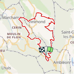

14,6 km | 21 km-effort


Utilisateur


Application GPS de randonnée GRATUITE
 SityTrail
IGN / Instituts géographiques
SityTrail World
Le monde est à vous
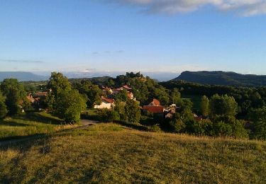
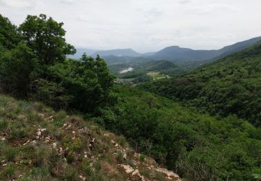
Randonnée V.T.T. de 19,3 km à découvrir à Auvergne-Rhône-Alpes, Ain, Ambléon. Cette randonnée est proposée par jeannot01.
Belle rando concoctée par Malc pour éviter la chaleur de Belley au mois de Juillet.
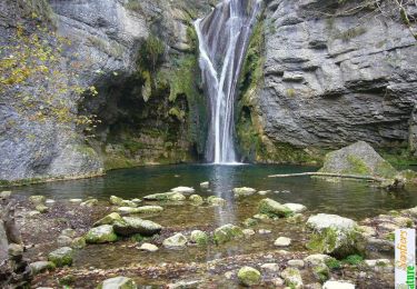
Pas de difficulté particulière mise à part la descente retour sur le lac d'Ambléon très raide mais non technique.
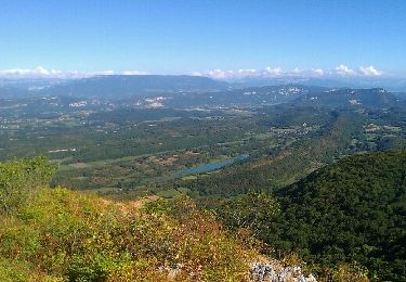
Magnifique vue sur l'ensemble des Alpes.
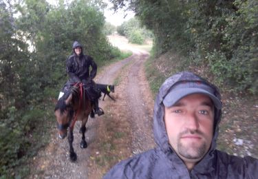
Randonnée équestre
Marche

V.T.T.

V.T.T.
V.T.T.
Marche
V.T.T.
V.T.T.
V.T.T.