


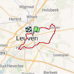

18,1 km | 22 km-effort


Utilisateur


Application GPS de randonnée GRATUITE
 SityTrail
IGN / Instituts géographiques
SityTrail World
Le monde est à vous
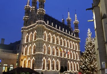
Randonnée Marche de 23 km à découvrir à Flandre, Brabant flamand, Louvain. Cette randonnée est proposée par jojolemarcheur.
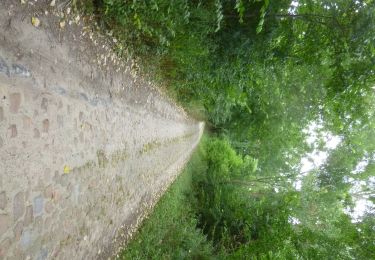
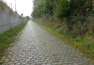
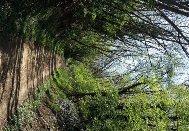
GR 128 : Saint-Omer > Aachen.
Le Domaine Provincial récréatif était fermé lors de la randonnée (ouvert à partir de 09.00 hrs), donc j'ai dû le contourner.
Marche
Marche
A pied
A pied
A pied
A pied
Marche

V.T.T.

Marche