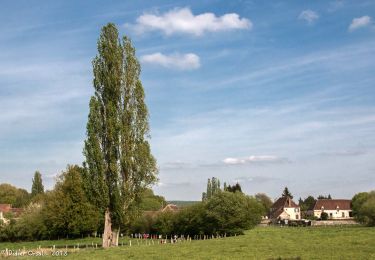
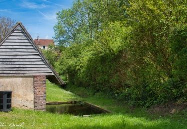
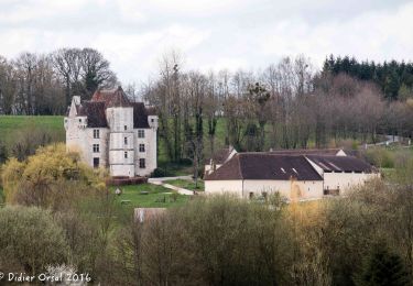
10,6 km | 13,5 km-effort
BOISSY MAUGIS
daniel77
Utilisateur
Longueur
13,5 km
Altitude max
249 m
Dénivelé positif
220 m
Km-Effort
16,4 km
Altitude min
128 m
Dénivelé négatif
220 m
Boucle
Oui
Date de création :
2016-07-07 00:00:00.0
Dernière modification :
2016-07-07 00:00:00.0
4h01
Difficulté : Facile
Application GPS de randonnée GRATUITE
À propos
Randonnée Autre activité de 13,5 km à découvrir à Normandie, Orne, Cour-Maugis sur Huisne. Cette randonnée est proposée par daniel77.
Localisation
Pays :
France
Région :
Normandie
Département/Province :
Orne
Commune :
Cour-Maugis sur Huisne
Localité :
Unknown
Départ:(Dec)
Départ:(UTM)
330800 ; 5367876 (31U) N.
Commentaires
Randonnées à proximité
Monceaux au Perche (Boucle)
Marche
Facile
(2)
Longny les Villages,
Normandie,
Orne,
France
2h 30min
Oui
Sur les terres du siège de Rémalard par Guillaume le Conquérant 9,5 km
Marche
Moyen
Rémalard en Perche,
Normandie,
Orne,
France
9,5 km | 10,9 km-effort
2h 28min
Oui
Le Mont-Ligeon 5,1 km
Marche
Moyen
La Chapelle-Montligeon,
Normandie,
Orne,
France
5,1 km | 6,6 km-effort
1h 30min
Oui
Maison Maugis 22.37
Marche
Moyen
(1)
Cour-Maugis sur Huisne,
Normandie,
Orne,
France
22 km | 28 km-effort
Inconnu
Oui
manoir courbpyer
Marche
Très facile
Perche en Nocé,
Normandie,
Orne,
France
12,8 km | 16,4 km-effort
4h 29min
Oui
La Chapelle-Montligeon - Longny-au-Perche via Bizou 16 km
Marche
Très difficile
La Chapelle-Montligeon,
Normandie,
Orne,
France
15,9 km | 20 km-effort
4h 22min
Non
La Chapelle-Montligeon - Moutiers-au-Perche via Bizou 20 km
Marche
Très difficile
La Chapelle-Montligeon,
Normandie,
Orne,
France
20 km | 26 km-effort
5h 33min
Non
La Chapelle-Montligeon - Le Mage via Bizou 18 km
Marche
Très difficile
La Chapelle-Montligeon,
Normandie,
Orne,
France
17,9 km | 23 km-effort
4h 53min
Non
La Maison du bois 11 Km
Marche
Difficile
Perche en Nocé,
Normandie,
Orne,
France
10,8 km | 13,2 km-effort
3h 0min
Oui