


11,5 km | 18,8 km-effort


Utilisateur


Application GPS de randonnée GRATUITE
 SityTrail
IGN / Instituts géographiques
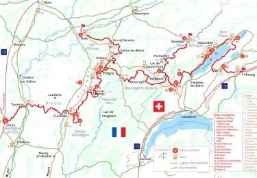
SityTrail World
Le monde est à vous
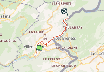
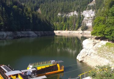
Randonnée Canoë - kayak de 6 km à découvrir à Bourgogne-Franche-Comté, Doubs, Villers-le-Lac. Cette randonnée est proposée par benoit747.
Aller - retour 12km
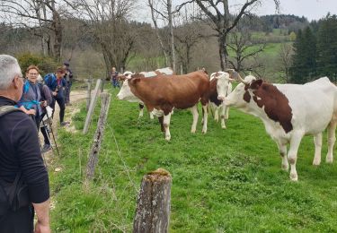
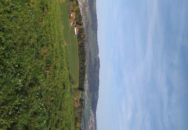
superbe paysage
attention aux navettes dans les méandres entre Villers le lac et le lac de Chaillexon
Peux être surpeuplé en haute saison
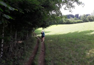
Marche
A pied
A pied
A pied
Marche
Marche
Marche
Marche
Cyclotourisme