
VTT Reventin-La Balme

Vicenzozo
Utilisateur

Longueur
26 km

Altitude max
409 m

Dénivelé positif
524 m

Km-Effort
33 km

Altitude min
214 m

Dénivelé négatif
524 m
Boucle
Oui
Date de création :
2016-06-25 00:00:00.0
Dernière modification :
2016-06-25 00:00:00.0
2h13
Difficulté : Moyen

Application GPS de randonnée GRATUITE
À propos
Randonnée V.T.T. de 26 km à découvrir à Auvergne-Rhône-Alpes, Isère, Reventin-Vaugris. Cette randonnée est proposée par Vicenzozo.
Description
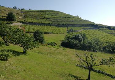
Petite boucle avec un peu de route, points de vue sympa sur le parcours. Parcours en forêt avec quelques passages techniques tranquille.
Localisation
Pays :
France
Région :
Auvergne-Rhône-Alpes
Département/Province :
Isère
Commune :
Reventin-Vaugris
Localité :
Unknown
Départ:(Dec)
Départ:(UTM)
641957 ; 5037450 (31T) N.
Commentaires
Randonnées à proximité

ravin de l'arbuet


Marche
Très facile
(1)
Condrieu,
Auvergne-Rhône-Alpes,
Rhône,
France

7,2 km | 10 km-effort
2h 52min
Oui

Autour des Cotes d'Arey


V.T.T.
Difficile
(2)
Les Côtes-d'Arey,
Auvergne-Rhône-Alpes,
Isère,
France

20 km | 26 km-effort
Inconnu
Oui

38-reventin-10km-325m


Marche
Facile
Reventin-Vaugris,
Auvergne-Rhône-Alpes,
Isère,
France

10 km | 14,3 km-effort
3h 5min
Oui

38-Vienne-visite-4.5km-mai21


Marche
Facile
Vienne,
Auvergne-Rhône-Alpes,
Isère,
France

4,6 km | 5,2 km-effort
1h 47min
Oui

42-Vérin Chuyer 18km 520m 18/5/20


Marche
Moyen
Vérin,
Auvergne-Rhône-Alpes,
Loire,
France

17,6 km | 25 km-effort
5h 12min
Oui

REVENTIN 18 JC


Marche
Très facile
(1)
Reventin-Vaugris,
Auvergne-Rhône-Alpes,
Isère,
France

7,3 km | 10,5 km-effort
2h 12min
Oui

Condrieu


Course à pied
Facile
Condrieu,
Auvergne-Rhône-Alpes,
Rhône,
France

17,5 km | 23 km-effort
2h 23min
Oui

REVENTIN VAUGRIS 2 JC


Marche
Très facile
(1)
Reventin-Vaugris,
Auvergne-Rhône-Alpes,
Isère,
France

12,9 km | 17,8 km-effort
3h 45min
Oui

AMPUIS JC


Marche
Très facile
(1)
Ampuis,
Auvergne-Rhône-Alpes,
Rhône,
France

9,7 km | 12,1 km-effort
3h 10min
Oui


 SityTrail


