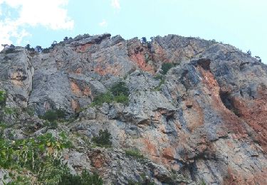
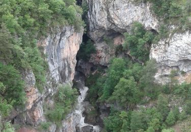
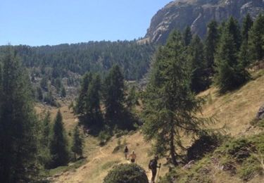
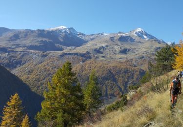
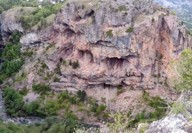
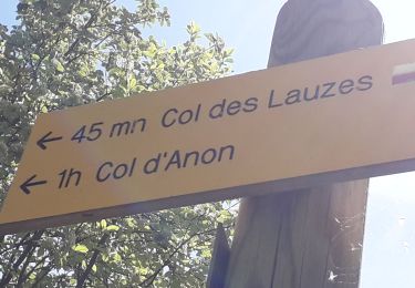
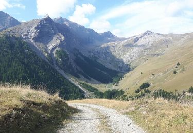
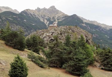
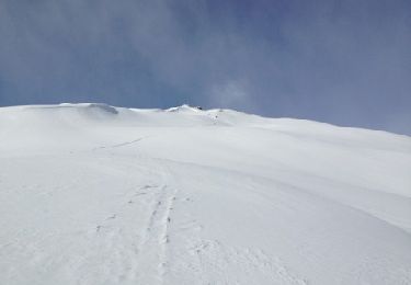
Randonnée Marche Freissinières - Freissiniers Dormillouse - Photo
 markford
markford

Utilisateur

© OpenStreetMap contributors
Longueur
Longueur
18,1 km
Altitude max
Altitude max
1744 m
Dénivelé positif
Dénivelé positif
671 m
Km-Effort
Km-Effort  
27 km
Altitude min
Altitude min
1180 m
Dénivelé négatif
Dénivelé négatif
671 m
Boucle
Boucle
Oui
Date de création :
2016-06-23 00:00:00.0
Dernière modification :
2016-06-23 00:00:00.0

(0 Avis)

Marche
Marche
5h46
Difficulté : Moyen

Scannez ce code QR pour ouvrir la randonnée dans l'application SityTrail

Application GPS de randonnée GRATUITE

Logo SityTrail SityTrail

IGN / Instituts géographiques

Télécharger SityTrail sur l'App Store Télécharger SityTrail sur Google Play

Logo SityTrail SityTrail World

Le monde est à vous

Télécharger SityTrail sur l'App Store Télécharger SityTrail sur Google Play Télécharger SityTrail sur Huawei AppGallery

À propos

Randonnée Marche de 18,1 km à découvrir à Provence-Alpes-Côte d'Azur, Hautes-Alpes, Freissinières. Cette randonnée est proposée par markford.

Description

Cet itinéraire peut être fait à pied en été et en raquettes-ing en hiver.
veiws fantastiques de chutes d'eau au printemps, cascades de glace en hiver. Peut être commencé et terminé à tout parking. mais en hiver, le route peut être fermé juste après les violons.
This route can be done Walking in the summer and snowshoe-ing in the winter.
Fantastic veiws of  waterfalls  in the spring , icefalls in the winter. Can be started and finished at  any carpark. though in winter the road can be closed just after the violins.

Profil altimétrique

Points d'intérêt

Point d'intérêt Freissinières - cascade  - Photo
markford
FREISSINIÈRES 

Localisation

Pays :
France
Région :
Provence-Alpes-Côte d'Azur
Département/Province :
Hautes-Alpes
Commune :
Freissinières
Localité :
Unknown
Départ:(Dec)
Départ:(UTM)
304796 ; 4958459 (32T) N.

Randonnées à proximité

Randonnée Marche Freissinières - Crête en bordure vallée Freissinieres (Rortie) - Photo
Marche
gildascb

Marche

Moyen
(2)
Freissinières, Provence-Alpes-Côte d'Azur, Hautes-Alpes, France
14,7 km | 26 km-effort
4h 52min
Oui
Randonnée Marche Champcella - Gouffre de Gourfouran - Photo
Marche
CYCLOHC

Marche

Facile
(2)
Champcella, Provence-Alpes-Côte d'Azur, Hautes-Alpes, France
5,1 km | 8,1 km-effort
2h 2min
Oui
Randonnée Marche Champcella - FRESSINIERES - SEYES 16.3KM - Photo
Marche
jpb83

Marche

Moyen
(1)
Champcella, Provence-Alpes-Côte d'Azur, Hautes-Alpes, France
16,3 km | 28 km-effort
5h 44min
Oui
Randonnée Marche Freissinières - les Violins  Dormillouse  - Photo
Marche
GUIDE
orsel

Marche

Facile
Freissinières, Provence-Alpes-Côte d'Azur, Hautes-Alpes, France
14,8 km | 28 km-effort
9h 14min
Oui
Randonnée Marche Champcella - 2020-09-10 Balade Gouffre du Gourfouran - Photo
Marche
GUIDE
holtzv

Marche

Très facile
Champcella, Provence-Alpes-Côte d'Azur, Hautes-Alpes, France
4,8 km | 7,8 km-effort
1h 14min
Oui
Randonnée Marche Freissinières - Fressiniere  les Roberts  Lac de la Lauze - Photo
Marche
Sorriaux

Marche

Moyen
(1)
Freissinières, Provence-Alpes-Côte d'Azur, Hautes-Alpes, France
13,9 km | 22 km-effort
4h 12min
Oui
Randonnée Marche Freissinières - Col de val-haute - Photo
Marche
gildascb

Marche

Facile
Freissinières, Provence-Alpes-Côte d'Azur, Hautes-Alpes, France
7,1 km | 13,5 km-effort
2h 52min
Oui
Randonnée Marche L'Argentière-la-Bessée - CR_Domitia_CJ_21_Argentiere_St-Martin-Queyrieres_20170915 - Photo
Marche
patrickdanilo

Marche

Très difficile
L'Argentière-la-Bessée, Provence-Alpes-Côte d'Azur, Hautes-Alpes, France
16,6 km | 27 km-effort
5h 57min
Non
Randonnée Autre activité Freissinières - tête des raisins - Freissiniéres - Pays des Écrins.gpx - Photo
Autre activité
rafaure

Autre activité

Facile
Freissinières, Provence-Alpes-Côte d'Azur, Hautes-Alpes, France
6,4 km | 19 km-effort
1h 57min
Oui


Fermer
Mes abonnements