


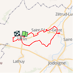


12,9 km | 15,2 km-effort

Utilisateur GUIDE


Application GPS de randonnée GRATUITE
 SityTrail
IGN / Instituts géographiques
SityTrail World
Le monde est à vous
Randonnée Marche de 12,1 km à découvrir à Wallonie, Brabant wallon, Jodoigne. Cette randonnée est proposée par Desrumaux.
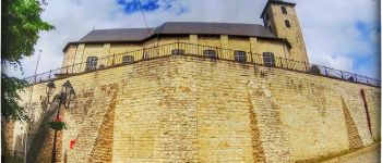
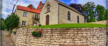
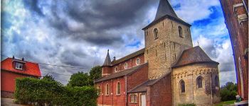
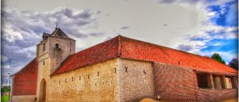
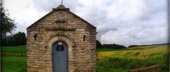
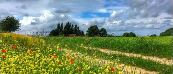
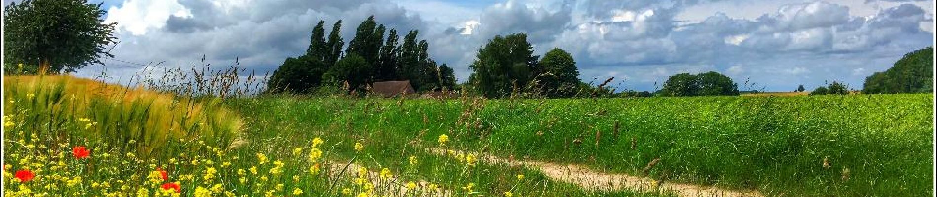
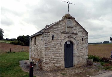
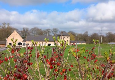
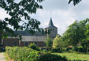
Le petit village de Mélin fait partie de l’entité de Jodoigne. Il est le seul village du Brabant Wallon à faire partie des « Plus Beaux Villages de Wallonie ».
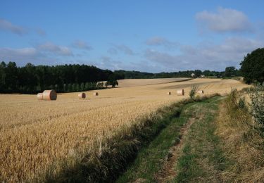
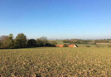
Le village de Mélin, aux paysages vallonnés, offre au visiteur de superbes panoramas et de splendides petits hameaux où se regroupent d’adorables petites maisons et fermettes au charme incomparable.
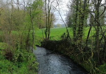
Mélin est surtout réputé pour sa superbe pierre calcaire de Gobertange, du nom du ruisseau qui arrose la région. (http://www.magazinebw.be/melin-ce-beau-village/)
Départ : Eglise de Mélin


Marche
Marche
Marche
Marche
Marche
Marche
A pied
Marche
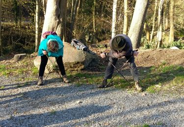
Marche nordique