9,7 km | 13 km-effort
Compostelle 31Bach
eric1955
Utilisateur
Longueur
42 km
Altitude max
382 m
Dénivelé positif
963 m
Km-Effort
55 km
Altitude min
142 m
Dénivelé négatif
783 m
Boucle
Non
Date de création :
2016-06-11 00:00:00.0
Dernière modification :
2016-06-11 00:00:00.0
9h04
Difficulté : Facile
Application GPS de randonnée GRATUITE
À propos
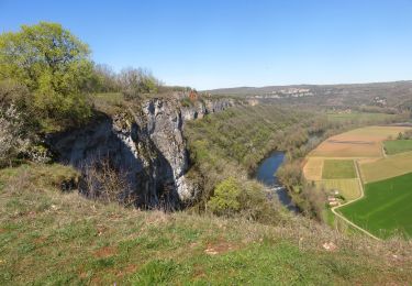
Randonnée Marche de 42 km à découvrir à Occitanie, Lot, Cajarc. Cette randonnée est proposée par eric1955.
Localisation
Pays :
France
Région :
Occitanie
Département/Province :
Lot
Commune :
Cajarc
Localité :
Unknown
Départ:(Dec)
Départ:(UTM)
407857 ; 4926593 (31T) N.
Commentaires
Randonnées à proximité
Saujac-Bastides et saut de la Mounine
Marche
Difficile
(1)
Saujac,
Occitanie,
Aveyron,
France
2h 56min
Oui
Larnagol le bout du monde
Marche
Très facile
(1)
Larnagol,
Occitanie,
Lot,
France
8,6 km | 13 km-effort
3h 9min
Oui
Etape14 Cajarc a Limogne en Quercy
Marche
Facile
Cajarc,
Occitanie,
Lot,
France
19,4 km | 25 km-effort
4h 36min
Non
CC_Velay_DA_13_Cajarc_Bach_20080504
Marche
Moyen
Cajarc,
Occitanie,
Lot,
France
32 km | 40 km-effort
7h 20min
Non
calvignac cenevieres
Marche
Moyen
Calvignac,
Occitanie,
Lot,
France
19,4 km | 28 km-effort
5h 29min
Oui
roc de lantouy2024
Marche
Difficile
Salvagnac-Cajarc,
Occitanie,
Aveyron,
France
10,5 km | 15,3 km-effort
2h 55min
Oui