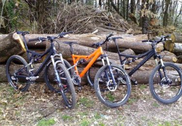
Randonnée Marche Arifat - Cascades de Arifat - Photo

Cascades de Arifat

 jpipacific
jpipacific

Utilisateur

© OpenStreetMap contributors
Longueur
Longueur
8,7 km
Altitude max
Altitude max
497 m
Dénivelé positif
Dénivelé positif
330 m
Km-Effort
Km-Effort  
13,1 km
Altitude min
Altitude min
281 m
Dénivelé négatif
Dénivelé négatif
329 m
Boucle
Boucle
Oui
Date de création :
2016-06-02 00:00:00.0
Dernière modification :
2016-06-02 00:00:00.0

(0 Avis)

Marche
Marche
2h39
Difficulté : Moyen

Scannez ce code QR pour ouvrir la randonnée dans l'application SityTrail

Application GPS de randonnée GRATUITE

Logo SityTrail SityTrail

IGN / Instituts géographiques

Télécharger SityTrail sur l'App Store Télécharger SityTrail sur Google Play

Logo SityTrail SityTrail World

Le monde est à vous

Télécharger SityTrail sur l'App Store Télécharger SityTrail sur Google Play Télécharger SityTrail sur Huawei AppGallery

À propos

Randonnée Marche de 8,7 km à découvrir à Occitanie, Tarn, Arifat. Cette randonnée est proposée par jpipacific.

Description

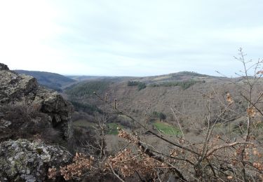
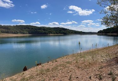
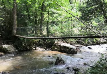
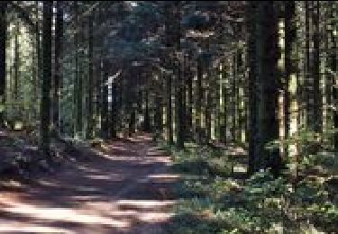
Belle randonnée avec de bons dénivelés.  Passage du pont des cascades par un pont suspendu très sympa. La fin du parcours se fait dans une exploitation forestière très boueuse et chemin défoncé par des engins. Il vaut mieux prévoir un autre parcours après la route avant Cadarlés.

Profil altimétrique

Localisation

Pays :
France
Région :
Occitanie
Département/Province :
Tarn
Commune :
Arifat
Localité :
Unknown
Départ:(Dec)
Départ:(UTM)
444788 ; 4845827 (31T) N.

Randonnées à proximité

Randonnée Marche Montredon-Labessonnié - Sentier des agates revisité  - Photo
Marche
Isabelle Debrus

Marche

Facile
Montredon-Labessonnié, Occitanie, Tarn, France
14,4 km | 20 km-effort
3h 44min
Oui
Randonnée Marche Terre-de-Bancalié - Tour du lac de la bancalié - Photo
Marche
tiki01

Marche

Facile
Terre-de-Bancalié, Occitanie, Tarn, France
10,2 km | 12,4 km-effort
3h 3min
Oui
Randonnée Marche Arifat - cascades d'Arifat - Photo
Marche
jpipacific

Marche

Difficile
Arifat, Occitanie, Tarn, France
6 km | 9,1 km-effort
1h 58min
Oui
Randonnée Marche Montredon-Labessonnié - Sentier de la Baronnie - Photo
Marche
tercla

Marche

Très facile
Montredon-Labessonnié, Occitanie, Tarn, France
19,7 km | 27 km-effort
6h 29min
Oui
Randonnée V.T.T. Montredon-Labessonnié - Montredon-Labessonnié - Photo
V.T.T.
tracegps

V.T.T.

Difficile
Montredon-Labessonnié, Occitanie, Tarn, France
29 km | 41 km-effort
2h 0min
Non
Randonnée Marche Montredon-Labessonnié - 81-Montredon Labessonnie-sentier de Houlette - Photo
Marche
Jovila

Marche

Moyen
Montredon-Labessonnié, Occitanie, Tarn, France
20 km | 27 km-effort
4h 21min
Oui
Randonnée Vélo électrique Terre-de-Bancalié - Boucle de Roque à Roque - Photo
Vélo électrique
ktmetarn

Vélo électrique

Difficile
(1)
Terre-de-Bancalié, Occitanie, Tarn, France
29 km | 41 km-effort
Inconnu
Oui
Randonnée Marche Terre-de-Bancalié - prepa fev - Photo
Marche
jpipacific

Marche

Facile
Terre-de-Bancalié, Occitanie, Tarn, France
6,4 km | 8,5 km-effort
1h 55min
Oui
Randonnée Marche Terre-de-Bancalié - le travet- traversee du Dadou - Photo
Marche
Frayssinet

Marche

Très difficile
(1)
Terre-de-Bancalié, Occitanie, Tarn, France
24 km | 36 km-effort
8h 9min
Oui


Fermer
Mes abonnements