


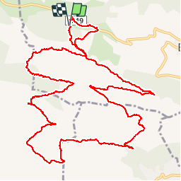

9,2 km | 11,9 km-effort

Utilisateur


Application GPS de randonnée GRATUITE
 SityTrail
IGN / Instituts géographiques
SityTrail World
Le monde est à vous
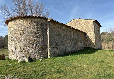
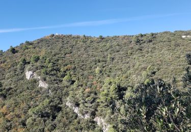
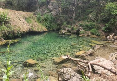
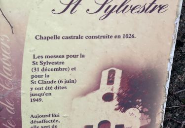
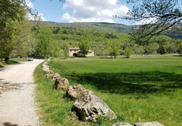
Randonnée Marche de 17,7 km à découvrir à Provence-Alpes-Côte d'Azur, Var, Bargemon. Cette randonnée est proposée par Sugg.
18 mai 2016
Rando RF en petit comité.
Parcours assez difficile par endroits pour nos seniors.
Beau temps, beaux points de vues. RAS.


Marche
Marche
Marche
Marche
Marche


sport
Marche
Marche
Marche