


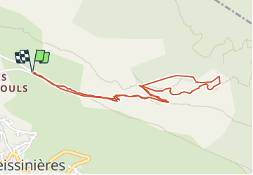

14,7 km | 26 km-effort


Utilisateur


Application GPS de randonnée GRATUITE
 SityTrail
IGN / Instituts géographiques
SityTrail World
Le monde est à vous
Randonnée Via ferrata de 2,7 km à découvrir à Provence-Alpes-Côte d'Azur, Hautes-Alpes, Freissinières. Cette randonnée est proposée par markford.
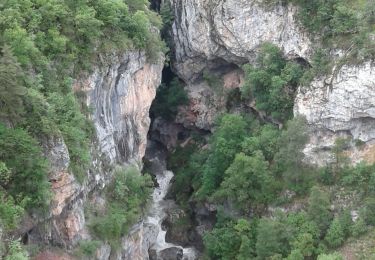
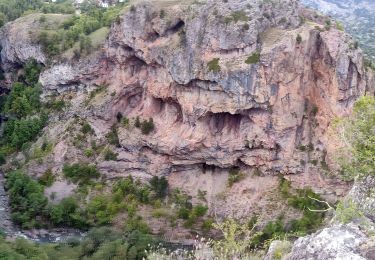
First Via Ferrata in France
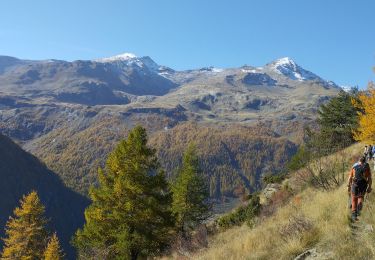
possible to opt out half way and miss out the harder parts.
For more details and material hiring you can contact the Hotel:- contact@les5saisons.com

Marche
Marche

Marche
Marche
Marche
Marche
Marche
Marche
Autre activité