


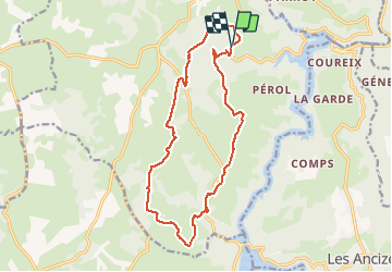

9,5 km | 12,8 km-effort

Utilisateur


Application GPS de randonnée GRATUITE
 SityTrail
IGN / Instituts géographiques
SityTrail World
Le monde est à vous
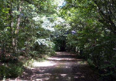
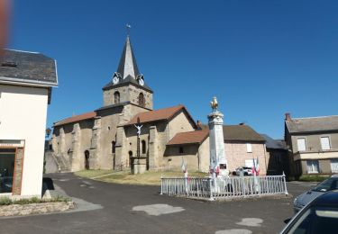
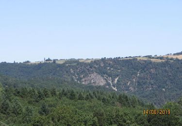
Randonnée Marche de 16,3 km à découvrir à Auvergne-Rhône-Alpes, Puy-de-Dôme, Saint-Priest-des-Champs. Cette randonnée est proposée par Gegetop.
PR 41 du guide Chamina La chaine des Puys, mais départ et arrivée sur un parking en bordure de la D62 au dessus de la Buchaille.


A pied
A pied
A pied
Marche

Randonnée équestre

A pied
A pied
Vélo électrique
Marche