


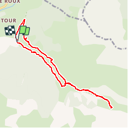

19,8 km | 46 km-effort

Utilisateur


Application GPS de randonnée GRATUITE
 SityTrail
IGN / Instituts géographiques
SityTrail World
Le monde est à vous
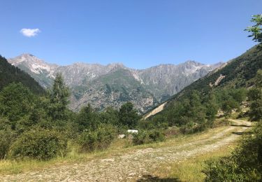
Randonnée Marche de 8,9 km à découvrir à Provence-Alpes-Côte d'Azur, Hautes-Alpes, Saint-Maurice-en-Valgodemard. Cette randonnée est proposée par Dervalmarc.
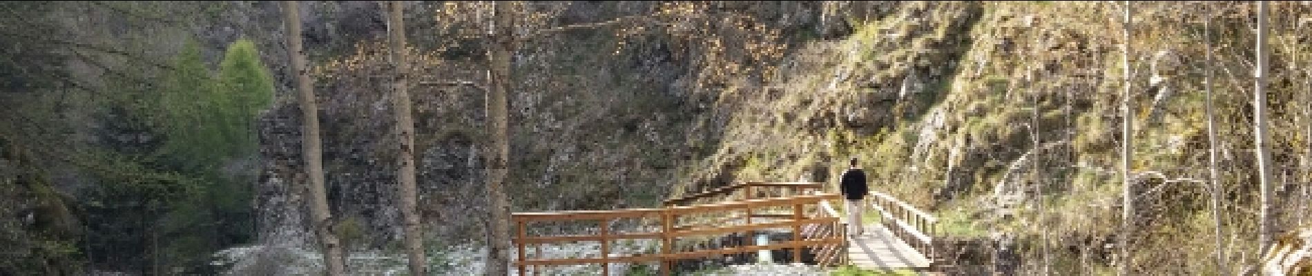
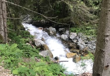
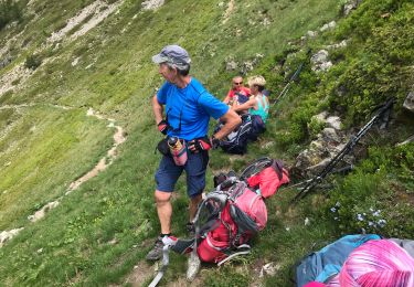
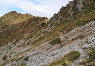
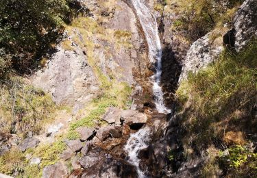
Agréable parcours couplant les chalets de Prenticq et la petite cabane du Sellar.Tout cela dans le cadre grandiose d'un vallon sauvage ou vous aurez la possibilité d'observer de nombreux chamois.


Marche

Marche
Marche
Marche
Marche
Marche
Marche
Marche
Marche