


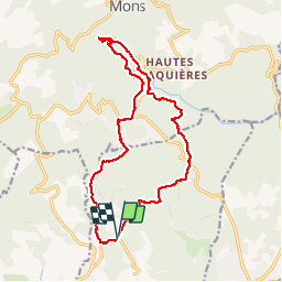


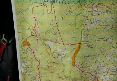
15 km | 18,3 km-effort

Utilisateur


Application GPS de randonnée GRATUITE
 SityTrail
IGN / Instituts géographiques
SityTrail World
Le monde est à vous
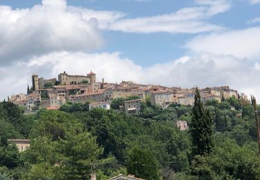
Randonnée Marche de 18,3 km à découvrir à Provence-Alpes-Côte d'Azur, Var, Tourrettes. Cette randonnée est proposée par Sugg.
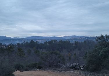
Rand Sources de la Siagnole de Mons.
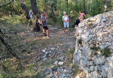
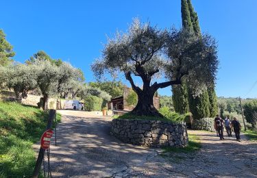
Belle rando ( Pierre ) avec une partie du parcours sur le canal Romain.
http://traianvs.net/textos/frejus_fr.htm


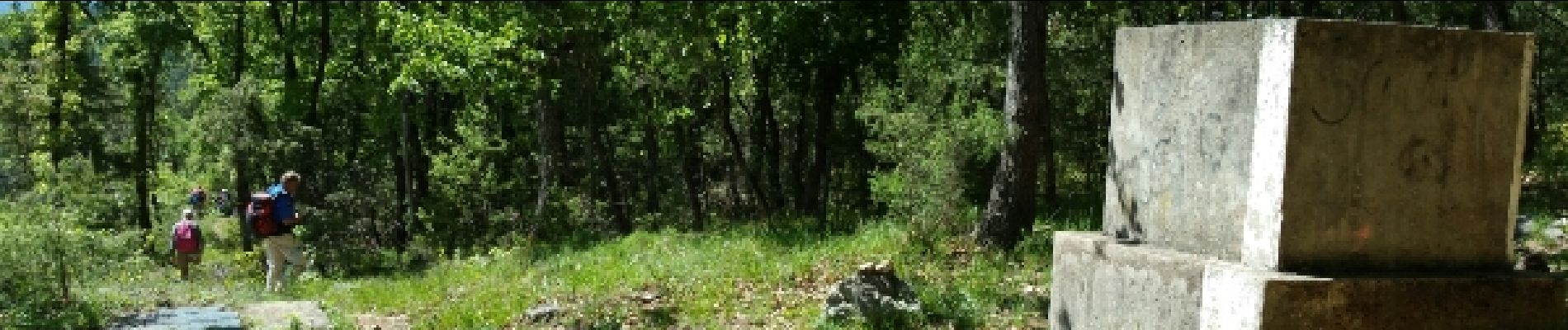
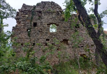
24 photos au total. Cliquez sur une photo pour les afficher toutes dans la galerie.
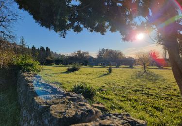
Marche
Marche
Marche
Marche
Marche
Marche
Marche
V.T.T.
Marche
Impossible faire cette rando sans enfreindre l'interdit de suivre le canal de la Siagnole. Dommage