


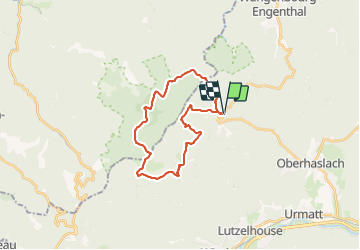

14,9 km | 21 km-effort


Utilisateur


Application GPS de randonnée GRATUITE
 SityTrail
IGN / Instituts géographiques
SityTrail World
Le monde est à vous
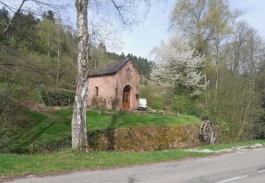
Randonnée Marche de 23 km à découvrir à Grand Est, Bas-Rhin, Oberhaslach. Cette randonnée est proposée par markrei.
1500 m de dénivelé dans les Vosges dans la journée !!! Parcours souvent hors sentier spécialement étudié par Patrick Burg et Patrick Grune

Marche

Marche

V.T.T.
Marche

Marche
Marche
Marche
Marche
Marche