


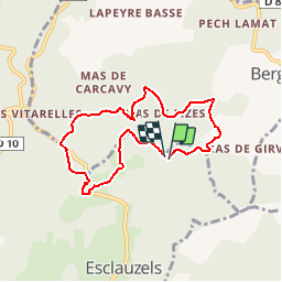

17,7 km | 24 km-effort


Utilisateur


Application GPS de randonnée GRATUITE
 SityTrail
IGN / Instituts géographiques
SityTrail World
Le monde est à vous
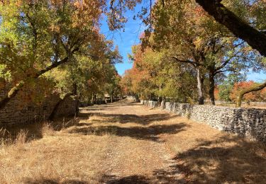
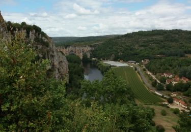
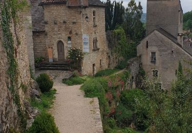
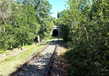
Randonnée Marche de 7,1 km à découvrir à Occitanie, Lot, Esclauzels. Cette randonnée est proposée par MM46.

Marche
Marche

sport
Marche
Marche
Vélo électrique
Marche
Marche
Marche
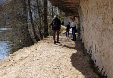
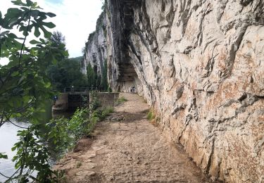
chemin condamné par cloture ! boucle ne peut pas être faite