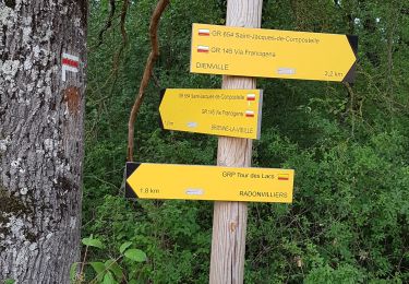
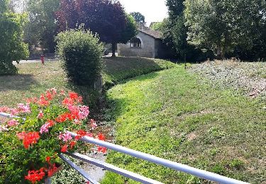
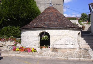
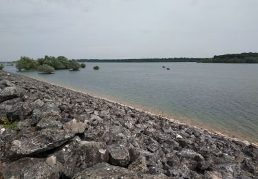
Randonnée Marche La Chaise - la chaise (10) - Photo
 azur1010
azur1010

Utilisateur

© OpenStreetMap contributors
Longueur
Longueur
16,3 km
Altitude max
Altitude max
193 m
Dénivelé positif
Dénivelé positif
181 m
Km-Effort
Km-Effort  
18,7 km
Altitude min
Altitude min
135 m
Dénivelé négatif
Dénivelé négatif
182 m
Boucle
Boucle
Oui
Date de création :
2016-04-22 00:00:00.0
Dernière modification :
2016-04-22 00:00:00.0

(0 Avis)

Marche
Marche
3h47
Difficulté : Facile

Scannez ce code QR pour ouvrir la randonnée dans l'application SityTrail

Application GPS de randonnée GRATUITE

Logo SityTrail SityTrail

IGN / Instituts géographiques

Télécharger SityTrail sur l'App Store Télécharger SityTrail sur Google Play

Logo SityTrail SityTrail World

Le monde est à vous

Télécharger SityTrail sur l'App Store Télécharger SityTrail sur Google Play Télécharger SityTrail sur Huawei AppGallery

À propos

Randonnée Marche de 16,3 km à découvrir à Grand Est, Aube, La Chaise. Cette randonnée est proposée par azur1010.

Description

Encore un peu mou .... Mais cool

Profil altimétrique

Localisation

Pays :
France
Région :
Grand Est
Département/Province :
Aube
Commune :
La Chaise
Localité :
Unknown
Départ:(Dec)
Départ:(UTM)
623037 ; 5357881 (31U) N.

Randonnées à proximité

Randonnée Marche Dienville - Dienville pour le Matin - Photo
Marche
GUIDE
VANDERPUTTENMi

Marche

Moyen
(1)
Dienville, Grand Est, Aube, France
8,6 km | 9,4 km-effort
2h 6min
Oui
Randonnée Marche Dienville - Le Balcon du Lac d'Amance - Photo
Marche
tracegps

Marche

Difficile
(1)
Dienville, Grand Est, Aube, France
17,5 km | 19,7 km-effort
4h 45min
Oui
Randonnée V.T.T. Éclaron-Braucourt-Sainte-Livière - Espace VTT FFC Lac du Der en Champagne - Circuit n°08 - La Forêt du Der - Photo
V.T.T.
tracegps

V.T.T.

Moyen
(1)
Éclaron-Braucourt-Sainte-Livière, Grand Est, Haute-Marne, France
19,5 km | 22 km-effort
1h 30min
Oui
Randonnée Marche Piney - sentier du colosse d'argile - Photo
Marche
Denis.10.Klein

Marche

Très facile
Piney, Grand Est, Aube, France
7,2 km | 8,2 km-effort
2h 0min
Oui
Randonnée Marche Amance - au départ d'AMANCE LA VILLE AUX BOIS - Photo
Marche
jeannine grandjean

Marche

Moyen
Amance, Grand Est, Aube, France
8,7 km | 10,3 km-effort
2h 20min
Oui
Randonnée A pied Colombé-le-Sec - Circuit Gaston Cheq - Photo
A pied
GUIDE+

A pied

Moyen
Colombé-le-Sec, Grand Est, Aube, France
20 km | 26 km-effort
5h 53min
Non
Randonnée V.T.T. Bar-sur-Aube - sur les hauteurs de Bar sur Aube , Arrentiere - Photo
V.T.T.
loloboss

V.T.T.

Moyen
Bar-sur-Aube, Grand Est, Aube, France
17,1 km | 21 km-effort
1h 33min
Oui
Randonnée Marche Vendeuvre-sur-Barse - Funghi automne 19 A - Photo
Marche
ranzon

Marche

Très facile
Vendeuvre-sur-Barse, Grand Est, Aube, France
5,6 km | 6,5 km-effort
2h 48min
Non
Randonnée V.T.C. La Loge-aux-Chèvres - Tour du lac du temple - Photo
V.T.C.
FPortier

V.T.C.

Moyen
La Loge-aux-Chèvres, Grand Est, Aube, France
33 km | 36 km-effort
3h 25min
Oui


Fermer
Mes abonnements