


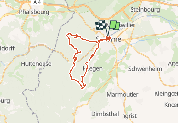


13,1 km | 18,6 km-effort


Utilisateur


Application GPS de randonnée GRATUITE
 SityTrail
IGN / Instituts géographiques
SityTrail World
Le monde est à vous
Randonnée Marche de 24 km à découvrir à Grand Est, Bas-Rhin, Saverne. Cette randonnée est proposée par DanielROLLET.
16.04.2016 Rando ASPV
Marie, Lysiane, Bruno, Gérard et moi.
Temps pluvieux surtout entre Stambach et Abri MF Schaefenplatz.
Départ 8h30 de la gare retour 16h30 (arrêts compris)

V.T.T.

Marche
A pied

A pied
A pied
A pied

A pied
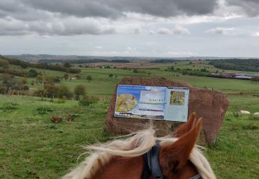
Randonnée équestre

Marche