


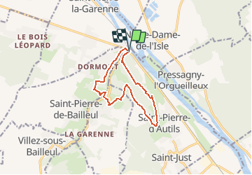

10,5 km | 13,8 km-effort


Utilisateur


Application GPS de randonnée GRATUITE
 SityTrail
IGN / Instituts géographiques
SityTrail World
Le monde est à vous
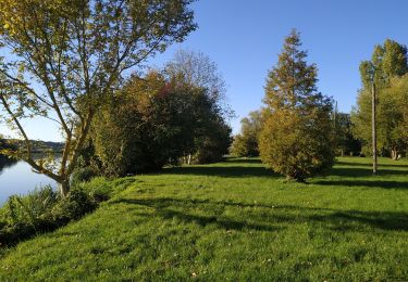
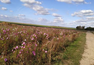
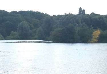
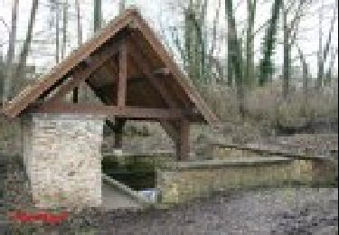
Randonnée Marche de 10,1 km à découvrir à Normandie, Eure, La Chapelle-Longueville. Cette randonnée est proposée par randovivi.
Départ du Goulet (Saint Pierre la Garenne 27600) (N15) entre Gaillon et Vernon sur le Parking en face du restaurant routier et la D63 Route de Rouen le Goulet

Marche
Marche
Marche
Marche
Marche
Marche
Autre activité
Marche
Marche