


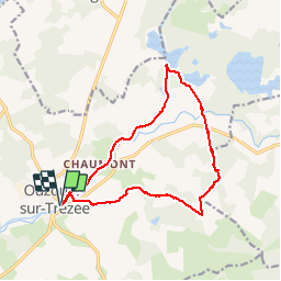

16,6 km | 18,7 km-effort


Utilisateur


Application GPS de randonnée GRATUITE
 SityTrail
IGN / Instituts géographiques
SityTrail World
Le monde est à vous
Randonnée Marche de 14 km à découvrir à Centre-Val de Loire, Loiret, Ouzouer-sur-Trézée. Cette randonnée est proposée par Ordijamo45.
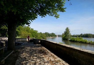
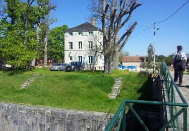
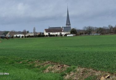
Départ de la place du champ foire: Randonnée au départ le long du canal de Briare et après de nombreux étangs ensuite promenade dans la campagne avec vers la fin un passage humide
Marche
Marche

Marche
Marche
Marche

V.T.C.
Marche
V.T.C.
Marche