


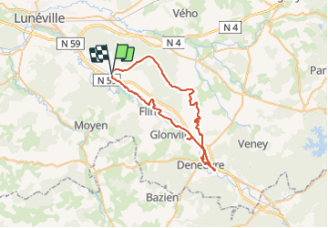

49 km | 54 km-effort


Utilisateur GUIDE


Application GPS de randonnée GRATUITE
 SityTrail
IGN / Instituts géographiques
SityTrail World
Le monde est à vous
Randonnée V.T.T. de 47 km à découvrir à Grand Est, Meurthe-et-Moselle, Saint-Clément. Cette randonnée est proposée par fabwin.
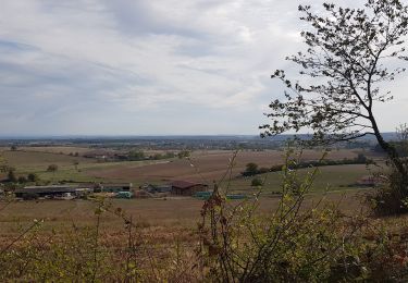
belle sortie sous le soleil avec Jojo & Séb.
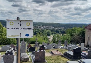
Un joli passage à Baccarat. On a faillit perdre Jojo en plus!!
V.T.T.
V.T.T.

V.T.T.
V.T.T.
V.T.T.
V.T.T.
V.T.T.
V.T.T.
Vélo électrique