


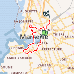

2,7 km | 3,4 km-effort


Utilisateur


Application GPS de randonnée GRATUITE
 SityTrail
IGN / Instituts géographiques
SityTrail World
Le monde est à vous
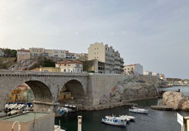
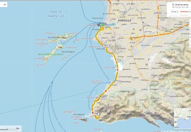
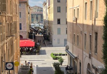
Randonnée Marche de 5,3 km à découvrir à Provence-Alpes-Côte d'Azur, Bouches-du-Rhône, Marseille. Cette randonnée est proposée par ARPF.
Du vieux port à St Charles en passant par le jardin Puget l'ABBAYE ST VICTOR et le quartier du Panier.

Marche
Marche
Marche

Marche
Marche
Marche
Marche
Vélo de route
Marche