


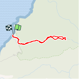

3,6 km | 7,2 km-effort


Utilisateur


Application GPS de randonnée GRATUITE
 SityTrail
IGN / Instituts géographiques
SityTrail World
Le monde est à vous
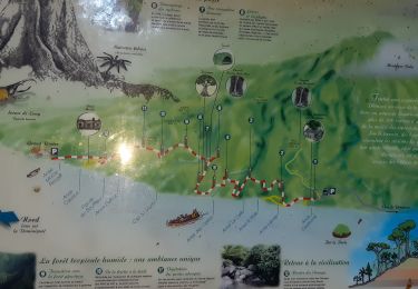
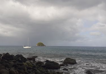
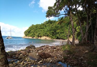
Randonnée Marche de 4,4 km à découvrir à Martinique, Inconnu, Le Prêcheur. Cette randonnée est proposée par XavierFaidix.
Marche
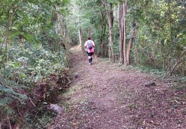
Marche
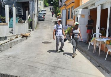
Marche
Marche
Marche
Marche
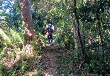
Marche
Marche
Marche
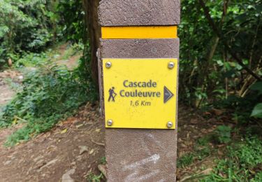
très belle cascade à l arrivée