


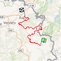

14,4 km | 17,3 km-effort


Utilisateur


Application GPS de randonnée GRATUITE
 SityTrail
IGN / Instituts géographiques
SityTrail World
Le monde est à vous
Randonnée Marche de 100 km à découvrir à Wallonie, Liège, Butgenbach. Cette randonnée est proposée par bncg.
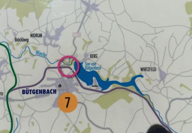
Worriken-Bütgenbach 0,0 km 0,0 km Ovifat-Ski 18,7 18,7 Signal de Botrange 6,7 25,4 Norbertuskappelle 13,1 38,5 Mützenich 12,1 50,6 Porfays 10,2 60,8 Drossart 6,6 67,4 Gileppe 11,9 79,3 Eupen Talsperre 12,7 92,0 Kettenis 8,0 100,0
Marche
Marche
Marche
Marche
Marche

Marche
Marche
Marche
Marche
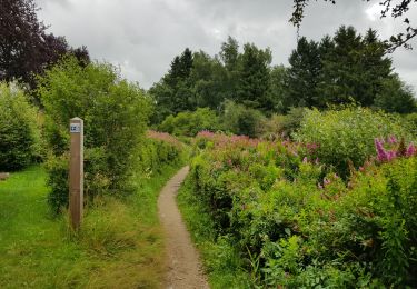
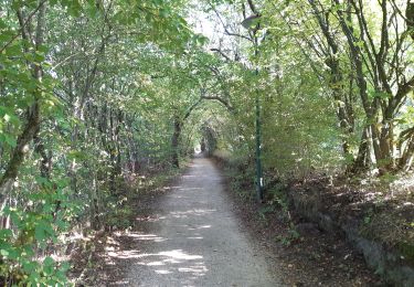
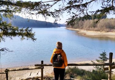
très beau parcours